
What is recorded here
In rough grazing at roadside. Semi-circular area defined on straight side (L 9m) by roadway and by arc of field fence NW->SE. Three small cairns of quartz stones and a boulder (diam. 1m) in interior. According to local information, 'rounds' were made here in the past; also know as 'the landing place of the Children of Lir' (O'Shea and Crowley 1972, 94).
The above description is derived from the published 'Archaeological Inventory of County Cork. Volume 1: West Cork' (Dublin: Stationery Office, 1992). In certain instances the entries have been revised and updated in the light of recent research.
Date of upload/revision: 14 January 2009
Linked to the tradition of penitential stations used during the Stations of the Resurrection pilgrimage route associated with St. Patrick’s Holy Wells, the site reflects an early Christian practice of prayer and pilgrimage. The quartz cairns and boulder may signify waypoints or places of prayer along the route, with quartz stones often associated with sacred or healing sites in Irish tradition.
The monument record does not grant public access. Check the route and ask the landowner before entering private land.
- What survives
- Recorded monument
Places near here
 Allihies Language Schoolschool · 553 yd
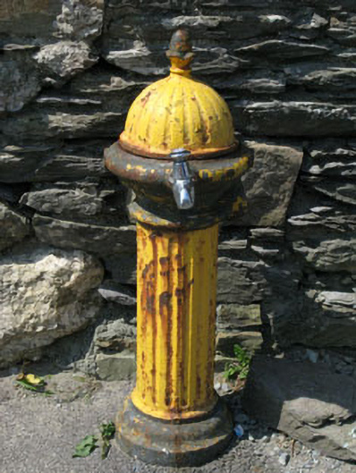 water pumpwater pump · 563 yd
 Allihies Copper Mine MuseumMuseum · 567 yd
 CaveMan-made underground passage · 578 yd
 Anomalous stone group in AllihiesAnomalous stone group · 635 yd
 DooneenViewpoint · 951 yd
 Ballydonegan StrandBeach / strand · 1201 yd
 Blue IslandsIslet · 1425 yd
 Black RocksIslet · 1493 yd
 KnocknagallaunMountain / peak · 1.3 mi
 Caherkeen Mass RockHeritage attraction · 2.0 mi
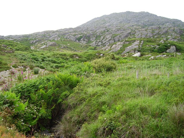 Eagle HillMountain / peak · 2.0 mi
Other information
Photo: Credit not shown in the picture search · Rights wording not checked; contact us if this picture should be removed