What is recorded here
The following description is derived from both the published 'Archaeological Inventory of County Louth' (Dublin: Stationery Office, 1986) and the 'Archaeological Survey of County Louth' (Dublin: Stationery Office, 1991). In certain instances the entries have been revised and updated in the light of recent research.
Date of upload/revision: 17 July 2007
Enclosed rectangular area of rough ground with a few stones marking graves. (CLAJ 1936, 354).
The monument record does not grant public access. Check the route and ask the landowner before entering private land.
- What survives
- Recorded monument
Places near here
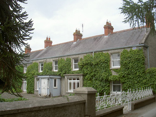 farm housefarm house · 540 yd
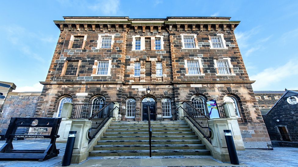 Enclosure in CrumlinEnclosure · 612 yd
 Enclosure in Killally (dundalk Upper By.)Enclosure · 662 yd
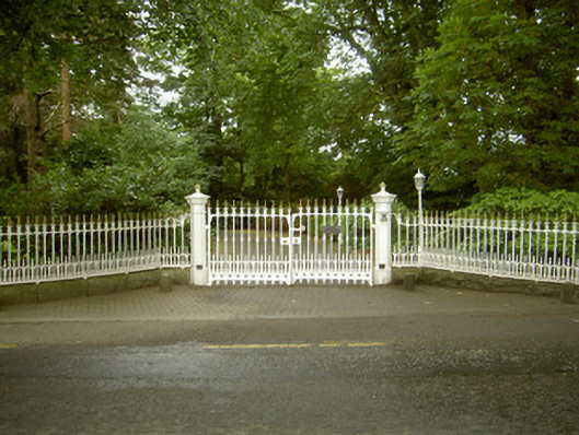 Ballybarrack Housegates/railings/walls · 751 yd
 BallybarrackMountain / peak · 842 yd
 Photo GalleryHeritage attraction · 1.4 mi
 Dundalk CentralHeritage attraction · 1.4 mi
 Maid of ErinMemorial · 1.7 mi
 Bombing 1975Memorial · 1.7 mi
 CastleCastle, tower house · 1.9 mi
 Castletown MotteArchaeological place · 2.3 mi
 Soldiers' PointHeadland · 3.3 mi