What is recorded here
Outline of circular shaped area (approx. diam. 65m) defined by a fosse and intersected at W by a field boundary running N-S which curves around the enclosing element of the monument. This field boundary marks the townland boundary with Tinamuck South. Outline of monument is clearly visible on Digital Globe aerial photograph taken 20/03/2018.
See attached image of Google Earth photograph taken 20/03/2018
Compiled by: Caimin O'Brien based on details provided by Ed O'Donovan
Date of upload: 09 April 2019
The monument record does not grant public access. Check the route and ask the landowner before entering private land.
- What survives
- Recorded monument
Places near here
 IndicatedFairy fort / ringfort · 1130 yd
 StructureStructure, peatland · 1.0 mi
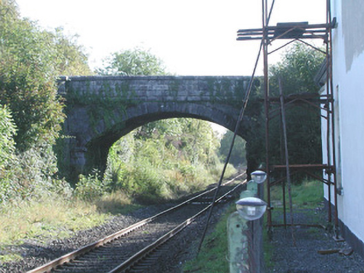 Prospect Bridgebridge · 1.1 mi
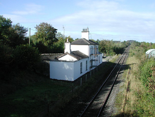 Ballycumber Railway Stationrailway station · 1.1 mi
 Roughan HillMountain / peak · 1.6 mi
 Inchaloon IslandIslet · 1.6 mi
 ToberaskeenSpring · 1.9 mi
 Gorteen CastleCastle, unclassified · 2.2 mi
 Castle ArmstrongHouse, fortified house · 2.6 mi
 Moate HillMountain / peak · 3.2 mi
 Charles BianconiMemorial · 3.3 mi
 The Bob Traynor GalleryGallery · 3.4 mi