What is recorded here
No trace of an antiquity at this location. There is no enclosure on the 1837 ed. OS 6-inch maps. The 1914 OS 6-inch map shows an arc in the corner of the field which is the enclosing element of the farmyard/haggard belonging to the building depicted on this map. Enclosing element of building depicted as a semi-circular shaped field boundary and not as an antiquity.
Compiled by: Frank Coyne and Caimin O'Brien
Date of upload: 27 August 2018
The monument record does not grant public access. Check the route and ask the landowner before entering private land.
- What survives
- Recorded monument
Places near here
 Lisclogher Bridgebridge · 101 yd
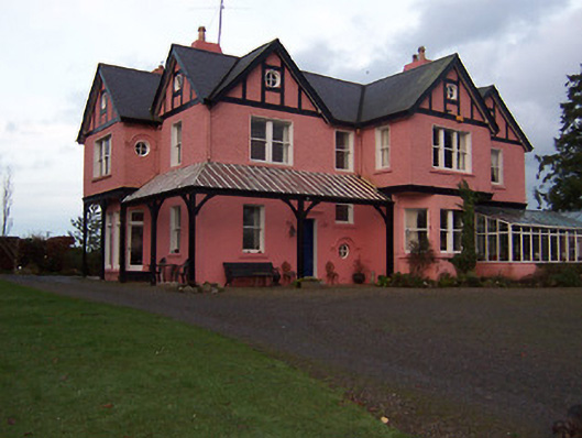 Lisclogher Househouse · 183 yd
 Dotted outlineFairy fort / ringfort · 1583 yd
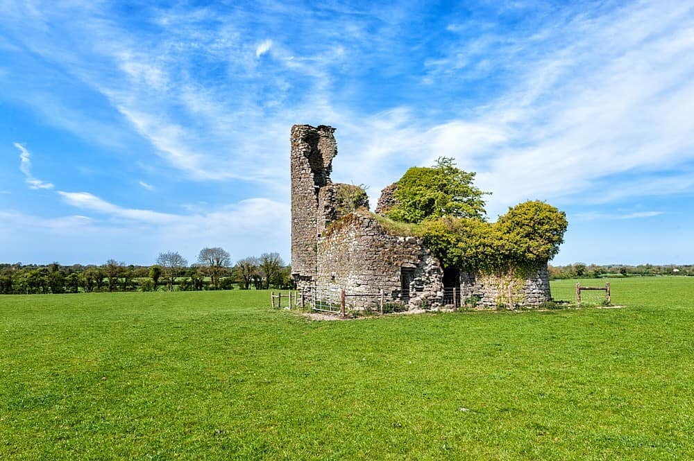 CastleCastle, tower house · 1.5 mi
 Concentric enclosure in Ballyboy (lune By., Athboy Par.)Concentric enclosure · 1.8 mi
 Bawn in Heathstown (delvin By.)Bawn · 2.4 mi
 FraineMountain / peak · 2.8 mi
 Persian WalnutPersian Walnut · 2.8 mi
 European YewEuropean Yew · 2.8 mi
 Drewstown LittleMountain / peak · 4.9 mi
 FarmaphobiaHeritage attraction · 6.0 mi
 Causey FarmHeritage attraction · 6.0 mi