What is recorded here
Situated on a steep natural hillock surrounded by woodland overlooking the Tang River 30m to N. No monument or any antiquity is marked at this location on the 1838 ed. OS 6-inch map which shows a D-shaped woodland plantation in this area. Depicted on the 1914 ed. OS 6-inch map as a long narrow mound (approx. diam. 35m NW-SE; 7m NE-SW). An area of free of woodland plantation has been kept around this earthwork which is visible on Digital Globe aerial photograph. No surface remains visible of monument which was located in a steep gravel hill parts of which have been quarried away.
Compiled by: Frank Coyne and Caimin O'Brien
Date of upload: 11 September 2018
The monument record does not grant public access. Check the route and ask the landowner before entering private land.
- What survives
- Recorded monument
Places near here
 Keel Bridgebridge · 198 yd
 Man-made underground passage in Calliaghstown (rathconrath By.)Man-made underground passage · 887 yd
 Field system in Ardnacrany NorthField system · 1103 yd
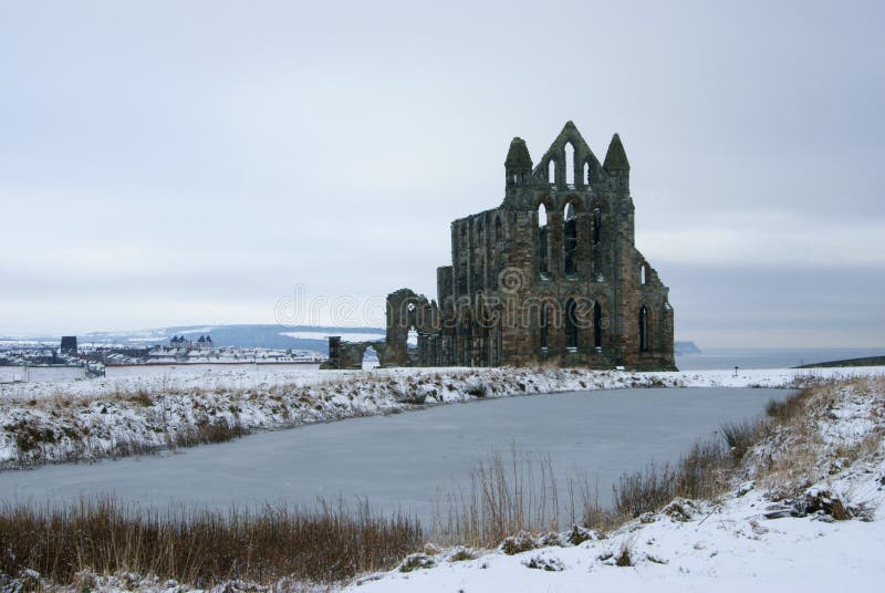 AbbeyReligious house, Carmelite friars · 1390 yd
 Noughaval CemeteryArchaeological place · 1.8 mi
 European BeechEuropean Beech · 2.2 mi
 Guest ServicesVisitor information · 2.4 mi
 Craft WorkshopHeritage attraction · 2.4 mi
 Ballymulvey Ho.Castle, unclassified · 2.5 mi
 Target WoodWood · 2.5 mi
 Newcastle WoodsForest · 2.8 mi
 Goldsmith Birthplace, PallasVisitor information · 3.0 mi