What is recorded here
Partially indicated is a Kerry fairy fort where a farmyard swallowed half the ancient boundary. Cattle have worn the inner earth flat while the outer bank still rises to protect whatever memory remains inside. The gate now closes a gap that may have been an entrance, turning a defensive ring into an ordinary pasture trap.
Ringfort described by O'Hare (2000, 89) as follows; 'The ringfort consists of a roughly circular area (28m north-south; 30m east-west) enclosed by an earthen bank and fosse. It lies immediately north of a farmyard, to which it now forms an extension. The surrounding land is under pasture and slopes to the north-north-east. The view from the interior is limited. The internal face of the earthen bank appears best preserved on the north and west. It stands to a maximum height of 0.6m on the north. In contrast, on the north-east, east and south-east, the internal face is denuded and has been badly trampled by cattle. The external bank face is, for the most part, well preserved. It stands to a maximum height of 1.45m on the north-north-west. The bank is interrupted for a distance of 10.7m on the south-south-west; the farmyard lies immediately outside of it here. A break, probably modern and now closed by a farm gate, lies to the north-north-cast. It is 3.2m wide. A faint slope into the external bank face from east to south-south-east and again from south-west to north-west suggests the former presence of a fosse. The interior is somewhat worn by its use as an access route for the fields to the northwest'.
See attached Google Earth orthoimages
Compiled by: Caimin O'Brien
Date of upload: 7 June 2022
The monument record does not grant public access. Check the route and ask the landowner before entering private land.
- What survives
- Recorded monument
Places near here
 Finughea WellHoly well · 536 yd
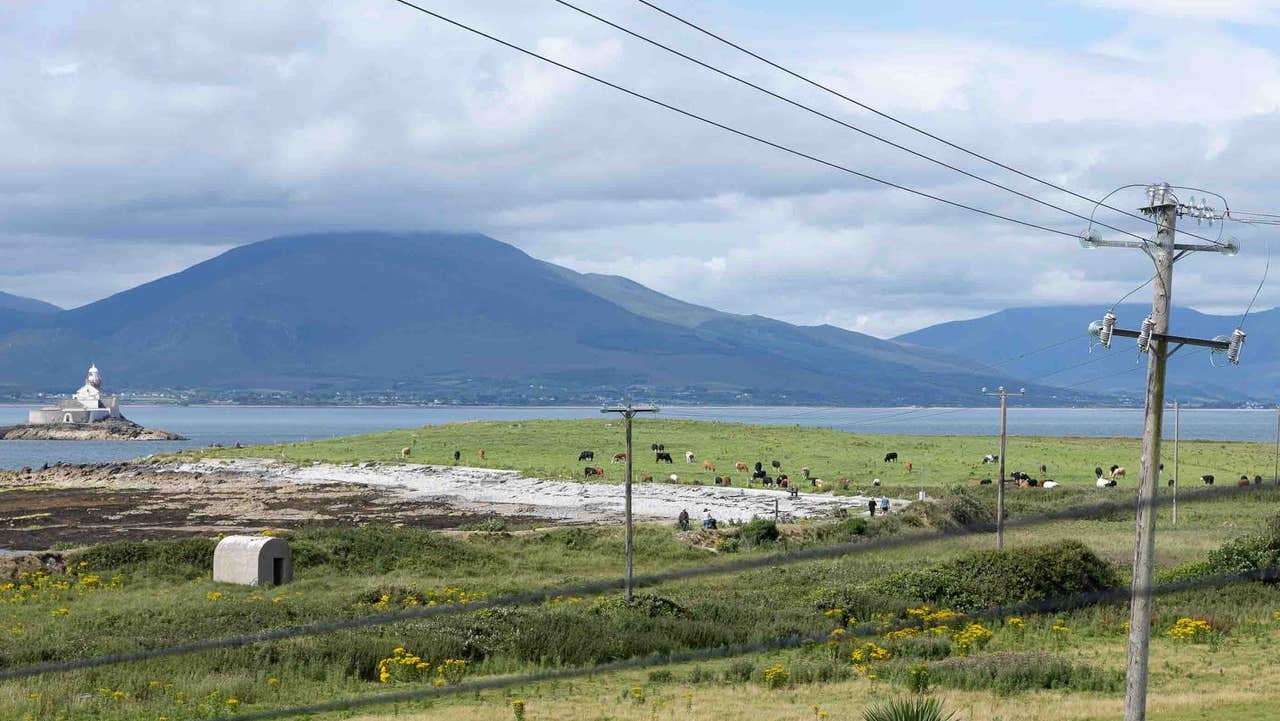 LissanaffrinArchaeological place · 799 yd
 Site of Rockfield Ho.Castle, unclassified · 1.6 mi
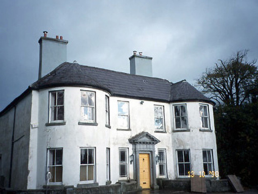 Arabela Househouse · 1.9 mi
 Site of McElligotts CastleCastle, unclassified · 1.9 mi
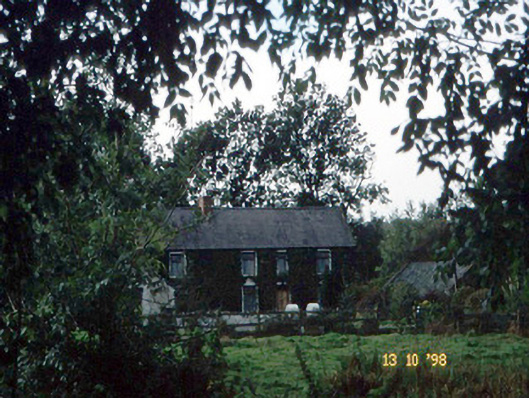 farm housefarm house · 1.9 mi
 PoulatouirtCave · 3.3 mi
 Poulclashcannon (blocked)Cave · 3.4 mi
 Common AlderCommon Alder · 3.5 mi
 Monument WoodWood · 3.8 mi
 Scotia's GraveArchaeological place · 5.6 mi
 Civil War MemorialMemorial · 5.8 mi