
What is recorded here
Situated in fairly level pasture, with land rising to E and SE. Shown on 1776 estate map (NLI, MS 21 F. 48 (26)) as a circular shaped enclosure depicted with a double dotted circle representing a possible ringfort. Depicted as a similar feature on 1837 OS Fair Plan map. Partially depicted as a curving field boundary to W of farm building on the 1837 OS 6-inch map. An ASI field report of 1983 recorded that there was no surface remains visible of this enclosure. Monument not visible today on Digital Globe aerial photography.
Compiled by: Alison McQueen, Vera Rahilly and Caimin O’Brien
Date of upload: 20 December 2018
The monument record does not grant public access. Check the route and ask the landowner before entering private land.
- What survives
- Recorded monument
Places near here
 Partially hachuredFairy fort / ringfort · 670 yd
 Ancient Ring FortWood · 719 yd
 Mweeleen MoatArchaeological place · 762 yd
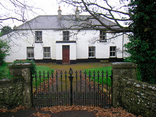 Ballyglass Househouse · 1023 yd
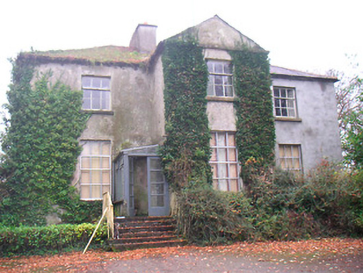 Rathconrath Houserectory/glebe/vicarage/curate's house · 1161 yd
 RathconrathCastle, motte · 1294 yd
 Milltown Castle in ruinsCastle, unclassified · 1432 yd
 Hill of UisneachMountain / peak · 2.9 mi
 Sessile OakSessile Oak · 4.9 mi
 Abbeyshrule AbbeyRuins · 6.0 mi
 Guest ServicesVisitor information · 7.2 mi
 Goldsmith Birthplace, PallasVisitor information · 7.4 mi
Other information
Photo: Credit not shown in the picture search · Rights wording not checked; contact us if this picture should be removed