What is recorded here
In pasture, truncated at N by the L1414, enclosure (LI039-150----) lies 230m to the SW. Not depicted on the 1840 ed. OSi 6-inch map. Shown on the 1897 ed. OSi 25-inch map as a D-shaped area (dims. c. 10m N-E; 19m E-W) defined by a scarp and external fosse, truncated at N by public road running E-W. In 1840 the Ordnance Survey recorded this monument as ‘one of ten ancient forts’ in the townland (OSNB Abbeyfeale to Bruree, 139). Levelled monument visible as D-shaped cropmark on OSi orthophotograph taken between 2005-12 and on Google Earth orthoimages.
See attached Google Earth orthoimages.
Compiled by: Fiona Rooney
Date of upload: 14 April 2021
The monument record does not grant public access. Check the route and ask the landowner before entering private land.
- What survives
- Recorded monument
Places near here
 CaheradrominFairy fort / earthen ringfort · 900 yd
 ExcavationExcavation, miscellaneous · 966 yd
 OutlinedBawn · 1603 yd
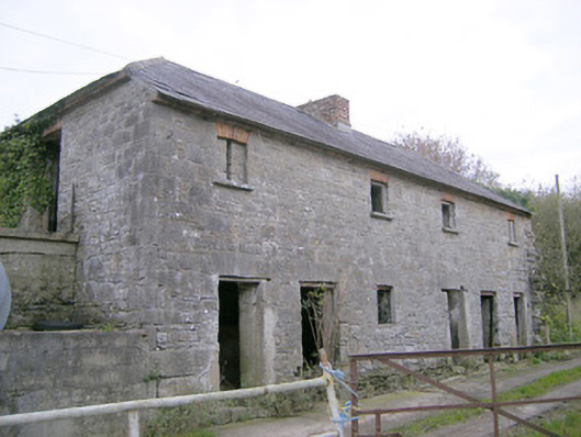 Camas Houseoutbuilding, bridge · 1.2 mi
 Church in Crean (smallcounty By.)Church · 1.9 mi
 Bawn in Ballycullane (kilmallock By.)Bawn · 2.0 mi
 Lough GurVisitor information · 4.0 mi
 Grange Stone CircleArchaeological place · 4.0 mi
 Pedunculate OakPedunculate Oak · 4.9 mi
 Lough Gur Heritage CentreVisitor information · 5.1 mi
 The SpectaclesVisitor information · 5.1 mi
 European ashEuropean ash · 5.3 mi