What is recorded here
Situated on a low rise, on E facing slope of a large ridge, in gently undulating pasture with good views in all directions, particularly to NE. Depicted on the 1837 OS 6-inch map as a circular shaped enclosure. Depicted on the revised 1913 ed. OS 25-inch map as the intermittent outline of a subcircular-shaped enclosure. Poorly preserved monument described in 1980 as a subcircular-shaped area (dims. 42m NNE-SSW; 40.5m NW-SE) enclosed by the remains of a poorly preserved bank mainly reduced to a scarp, with intervening fosse and a counterscarp. The inner scarp is traceable from ESE-S-W-N-NE and the perimeter of the monument has been levelled from NE-E-SE where it is disturbed by cultivation ridges running NE-SW. The perimeter is also disturbed where a modern stone wall runs roughly N-S across it from SW-W-WNW, as depicted on the 1837 OS 6-inch map. The inner bank is low and poorly preserved and appears to have been modified to form a field bank from SE-S-SSW. There is a faint and shallow intervening fosse only evident from NW-N-NNE. There is a counterscarp located c. 5m out from the fosse from NNW-N-NNE and from SSE-S-SSW-W. A large, deep depression is visible in the W quadrant and a small, shallow depression runs NE-SW for a short distance from the NE corner. The centre is occupied by a small mound of earth & stones which probably derives from the depressions. Some cultivation ridges running NW-SE are visible in the SW quadrant.
Monument visible today as the remains of a roughly circular-shaped enclosure on Digital Globe aerial photography.
Compiled by: Alison McQueen, Vera Rahilly and Caimin O’Brien
Date of upload: 20 December 2018
The monument record does not grant public access. Check the route and ask the landowner before entering private land.
- What survives
- Recorded monument
Places near here
 CastleCastle, tower house · 183 yd
 Hut site in Farthingstown (rathconrath By.)Hut site · 1223 yd
 Partially hachuredFairy fort / ringfort · 1266 yd
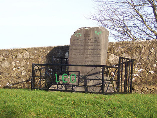 John Keegan Casey Monumentmonument · 1389 yd
 Saint Mary's Catholic Churchchurch/chapel · 1506 yd
 Hachured, 420 ODCastle, motte · 1.0 mi
 Ancient Ring FortWood · 1.1 mi
 Sessile OakSessile Oak · 4.2 mi
 Abbeyshrule AbbeyRuins · 5.4 mi
 Craft WorkshopHeritage attraction · 6.4 mi
 Guest ServicesVisitor information · 6.5 mi
 Goldsmith Birthplace, PallasVisitor information · 6.7 mi