What is recorded here
In reclaimed pasture 90m N of townland boundary with Milltown North and 180m E of public road which marks townland boundary with Lismakeery. Not depicted on the 1840 ed. OS 6-inch map. Depicted as a circular-shaped area (approx. int. diam. 20m E-W) defined by a bank from SW through N to SE, unenclosed at S on the 1897 ed. OS 25-inch map. Visible as an overgrown circular shaped-earthwork, with traces of an enclosing scarp at S, on Google Earth orthoimage dated 29/03/2012.
Compiled by: Martin Fitzpatrick
Date of upload: 22 July 2020
The monument record does not grant public access. Check the route and ask the landowner before entering private land.
- What survives
- Recorded monument
Places near here
 Fulacht fia in Milltown NorthFulacht fia · 589 yd
 Lismakeery Church (in ruins)Church · 823 yd
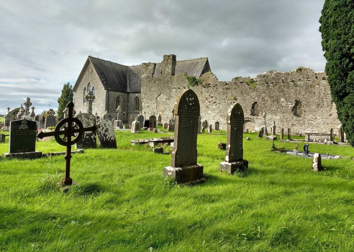 Grave YardGraveyard · 838 yd
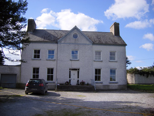 Bettyville housecountry house · 1030 yd
 Lismakeery Castle (in ruins)Castle, tower house · 1083 yd
 Milltown Castle (in ruins)Castle, tower house · 1274 yd
 Askeaton CastleHeritage attraction · 1.4 mi
 Holly IslandIslet · 2.8 mi
 TobernablahySpring · 4.3 mi
 Little HeavenHeritage attraction · 4.6 mi
 Herring RockNamed rock · 4.7 mi
 St. Kieran's WellSpring · 4.7 mi