
What is recorded here
Ballykilmurry Castle stands beside a forgotten L-shaped ditch that vanished before modern cameras arrived. The 1838 map drew a walled orchard where the castle still casts its shadow, suggesting gardens and guards once shared the same ground. Whatever disappeared did so quietly, leaving only a line on old paper and a field that remembers pressure more than shape.
No surface remains of any earthworks around the vicinity of the castle (OF016-011001-) that show up on aerial photographs (GSI N 534/5). These earthworks appear to be the same L-shaped fosse that is depicted on the revised 1908 edition of the OS 6-inch map immediately to the NE of Ballykilmurry Castle (OF016-011----). These earthworks may be the remains of the levelled fosse or ditch of the bawn of Ballykilmurry Castle. Alternatively this earthwork may have been constructed prior to the 1908 ed. of the OS 6-inch map as a farm roadway. This area to the NE of the castle is depicted as a walled orchard on the 1838 ed. OS 6-inch map.
The above description is derived from the published 'Archaeological Inventory of County Offaly' (Dublin: Stationery Office, 1997). In certain instances the entries have been revised and updated in the light of recent research.
Date of upload/revsion: 28 December 2011
The monument record does not grant public access. Check the route and ask the landowner before entering private land.
- What survives
- Recorded monument
Places near here
 Ballykilmurry Castle (in ruins)Castle, tower house · 36 yd
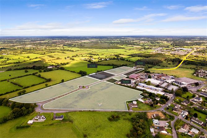 Enclosure in BallykilmurryEnclosure · 227 yd
 Castle in ruinsCastle, unclassified · 574 yd
 Mound in BallykilmurryMound · 1120 yd
 Coleraine Flour MillMill, corn · 1.1 mi
 European ashEuropean ash · 1.2 mi
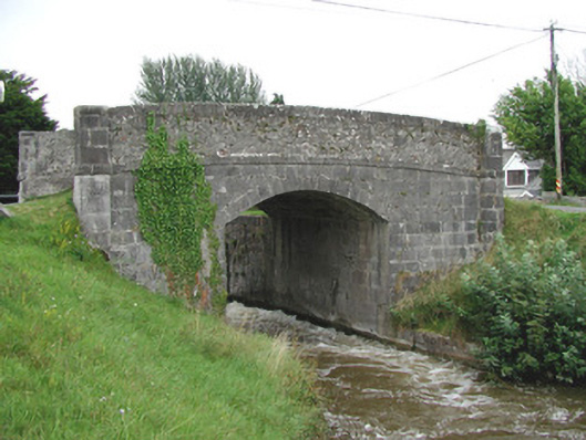 Ballycowan Bridgebridge · 1.3 mi
 Trumpet HillMountain / peak · 1.3 mi
 Ballyduff WoodForest · 1.4 mi
 Christ's WellSpring · 2.0 mi
 St. Columba's WellSpring · 2.6 mi
 Grand Canal WayWalking route · 3.3 mi
Other information
Photo: Credit not shown in the picture search · Rights wording not checked; contact us if this picture should be removed