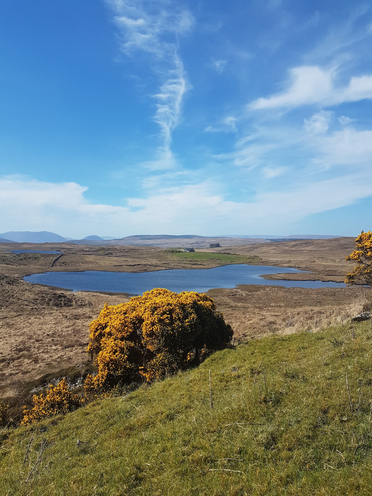
What is recorded here
Parkaliss Fort is a 36-metre earthen ring on a Galway hill, its inner scarp and outer bank still drawing a clear circle through the grass. Field rubble and a later wall have bruised the southeast edge, yet the remaining structure holds its shape against centuries of weather. People may have lived inside that shallow bowl, watched the horizon or simply marked a boundary before written memory arrived. The fort endures as a quiet claim on the landscape, half-hidden but unbroken.
On a hill in undulating grassland. Subcircular rath (diam. 36m), in fair condition, defined by a scarp, intervening fosse and outer bank. It has been disturbed at SE where field-clearance rubble is piled upon the enclosing elements. A field wall overlies the outer bank.
Compiled by: Galway Archaeological Survey, UCG
Date of upload: 10 April 2018
The monument record does not grant public access. Check the route and ask the landowner before entering private land.
- What survives
- Recorded monument
Places near here
 Mass-rock in CarrownamaddraMass-rock · 891 yd
 Castle in ruinsCastle, unclassified · 962 yd
 IndicatedEnclosure · 1022 yd
 Rosevillahouse · 1216 yd
 kilnkiln · 1.1 mi
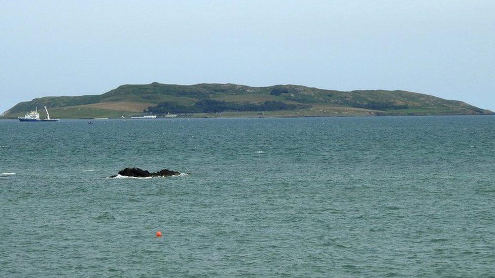 Lambs IslandIslet · 1.1 mi
 Bush IslandIslet · 1.8 mi
 Abbey HillMountain / peak · 2.0 mi
 Traught BeachBeach / strand · 2.3 mi
 Corcomroe AbbeyVisitor information · 2.5 mi
 Corcomroe Abbey Geopark SiteVisitor information · 2.5 mi
 CastleCastle, tower house · 2.8 mi
Other information
Photo: Credit not shown in the picture search · Rights wording not checked; contact us if this picture should be removed