
What is recorded here
In an area of outcropping limestone and rough pasture. What appeared to be a possible enclosure/cashel on the 1922 edition of the OS 6-inch map proved on inspection to be a roughly subcircular enclosure (c. 55m E-W; c. 45m N-S) defined by a single drystone wall breached by several poreens. The interior was divided into a number of small animal pens. A gap (Wth 2.5m) at S opened on to a narrow laneway. The circular nature of the enclosure is striking as noted on an aerial photograph (GASAP Roll 243: 29), suggesting that it may have been built on the line of an earlier enclosure or cashel. The current OSI digitalglobe aerial photograph (March 2012) indicates that the area has since been reclaimed and that the enclosure has been levelled; however, its outline is still visible.
Compiled by: Olive Alcock
Date of upload: 17 July 2017
The monument record does not grant public access. Check the route and ask the landowner before entering private land.
- What survives
- Recorded monument
Places near here
 Enclosure in Leagh SouthEnclosure · 681 yd
 Mass-rock in CarrownamaddraMass-rock · 991 yd
 Castle in ruinsCastle, unclassified · 1383 yd
 Rosevillahouse · 1.1 mi
 kilnkiln · 1.5 mi
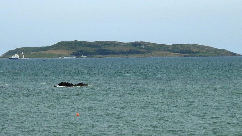 Lambs IslandIslet · 1.5 mi
 Abbey HillMountain / peak · 1.8 mi
 Corcomroe AbbeyVisitor information · 2.1 mi
 Corcomroe Abbey Geopark SiteVisitor information · 2.1 mi
 Turlough HillMountain / peak · 2.2 mi
 Bush IslandIslet · 2.3 mi
 Battle of Lough Raskabattle · 2.6 mi
Other information
Photo: Credit not shown in the picture search · Rights wording not checked; contact us if this picture should be removed