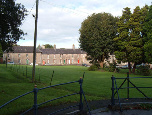
What is recorded here
Park, laid out c.1780, as part of the planned development of King's Square. Comprising rectangular lawned space surrounded on all sides by two-storey houses. Roads along sides and east-west through square and diagonally across south-east quadrant. Tree-lined along east-west road and having cast-iron fountain just north of centre of park. Wrought-iron railings around perimeter of park.
This park is an integral part of the King's Square scheme. It is a rare example of an eighteenth-century recreational space and is little changed since it was laid out, with the exception of the later fountain and railings.
This does not grant access. Most recorded buildings are privately owned; view them only from public ground unless the owner allows entry.
Places near here
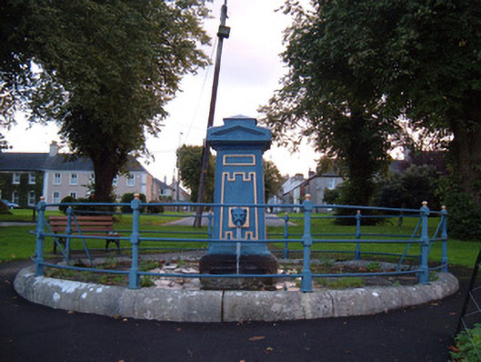 fountainfountain · 18 yd
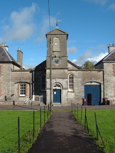 church/chapelchurch/chapel · 76 yd
 John MandevilleMemorial · 467 yd
 Mitchelstown Town MapVisitor information · 482 yd
 White Knights Tower (Site of)Castle, unclassified · 586 yd
 Grave YardGraveyard · 642 yd
 Statue of Saint FanahanMemorial · 743 yd
 St Finnchus WellHoly well · 1316 yd
 Carriganoura Castle (in Ruins)Castle, tower house · 2.1 mi
 FlagCave · 3.2 mi
 Ballyarthur HillMountain / peak · 3.3 mi
 Combaun WoodsViewpoint · 4.3 mi
Other information
Photo: National Inventory of Architectural Heritage · Website use allowed for educational or private purposes with source credit