
What is recorded here
Owing is a vanished fairy fort in County Kerry, Ireland, where a modern house garden now covers the ancient earthworks. Small openings in the boundary wall still mark a blocked underground passage running northeast to southwest, waiting for someone to clear the fill and walk the hidden route. The fort disappeared from sight but its shape remains trapped beneath the lawn and flowers.
A circular enclosure is indicated at this location on the first edition of the OS map and is marked ‘site of’ on the second edition. It is described in the OSNB as an almost levelled 'fort' and a closed-up Man-made underground passage (KE092-022001-) (Templeno, 42). No trace of the enclosure is now apparent, and its location is occupied by the garden of a modern house. A small opening to a Man-made underground passage passage is located on each side of the garden's boundary wall. The passage appears to be aligned NE-SW, but an accumulation of fill at either opening prevents access.
The above description is derived from A. O'Sullivan and J. Sheehan (compilers), 'The Iveragh peninsula: an archaeological survey of South Kerry'. Cork University Press (1996), no. 647. In certain instances the entries have been revised and updated in the light of recent research.
Date of upload: 29 July 2013
The monument record does not grant public access. Check the route and ask the landowner before entering private land.
- What survives
- Recorded monument
Places near here
 Owing (Site of)Fairy fort / earthen ringfort · 249 yd
 Templenoe Churchchurch/chapel · 583 yd
 Cappanacush Castle (ruins)Castle · 675 yd
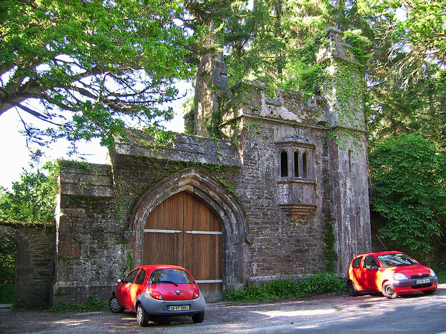 Dromore Castlegate lodge · 766 yd
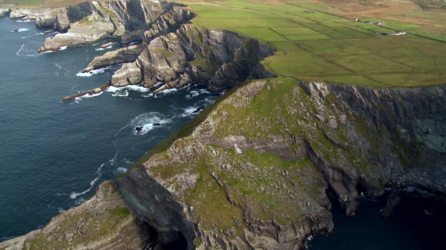 Indicated (1846).Enclosure · 788 yd
 Coss StrandBeach / strand · 1084 yd
 Dinish IslandIslet · 2.1 mi
 Dunkerron Island WestIslet · 2.1 mi
 Lackeen PointHeadland · 2.6 mi
 Letter SouthMountain / peak · 2.8 mi
 Dunkerron CastleCastle · 3.1 mi
 Feorus EastMountain / peak · 3.5 mi
Other information
Photo: Credit not shown in the picture search · Rights wording not checked; contact us if this picture should be removed