What is recorded here
Situated on a grass and rush-covered plateau, which is at the bottom of a N-facing slope. It is depicted faintly as a small circular area (diam. c. 20m) only on the 1835 edition of the OS 6-inch map. No feature is visible at ground level, and it is possible that a pond was intended.
The above description is derived from 'The Archaeological Inventory of County Leitrim' compiled by Michael J. Moore (Dublin: Stationery Office, 2003). In certain instances the entries have been revised and updated in the light of recent research.
Date of upload: 23 September 2008
The monument record does not grant public access. Check the route and ask the landowner before entering private land.
- What survives
- Recorded monument
Places near here
 Mass-rock in TullynascreenMass-rock · 857 yd
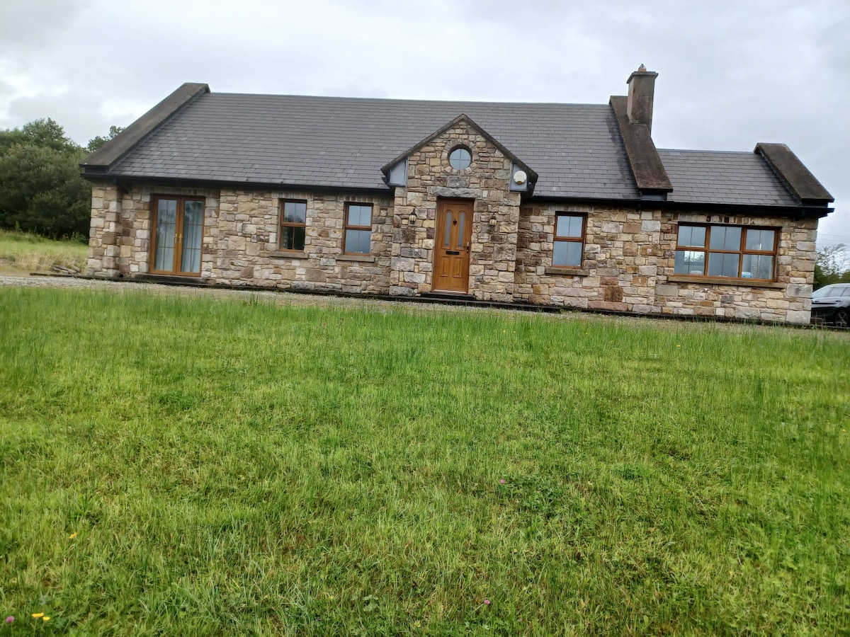 Embanked enclosureFairy fort / earthen ringfort · 1216 yd
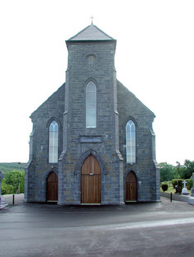 Saint Mary's Catholic Churchchurch/chapel · 1.9 mi
 St. Michaels ChurchChurch · 2.1 mi
 Carrane HillCliff · 3.5 mi
 Old HallCastle, hall-house · 3.5 mi
 CastleCastle, unclassified · 3.7 mi
 Green IslandIslet · 4.9 mi
 Cullentra ForestForest · 5.2 mi
 SlishwoodWood · 5.6 mi
 Trawane BayBay · 5.6 mi
 InnisfreeIslet · 5.7 mi