What is recorded here
Situated on lowlying marshy ground with medieval road (WM011-049----) and bridge (WM011-052---) immediately to N and NE respectively. Templecross church (WM011-051----) and graveyard (WM011-051001-) 300m to W. Tristernagh priory (WM011-053----) 300m to NE. Fish-pond depicted on the 1837 ed. OS 6-inch map as a rectangular-shaped pond fed by a water channel on E side. A rectangular-shaped depression (approx. dims. 70m ENE-WSW x 25m NNW-SSE) intersected by post-1700 drains along its E side appears to represent the remains of a fish pond of uncertain date. It close proximity to the 13th century Augustinian priory (WM011-053---) may suggest it is medieval in date. However it is also possible that it formed part of the estate of Tristernagh House built on the site of the priory in 1783.
Compiled by: Frank Coyne and Caimin O'Brien
Date of upload: 22 August 2017
The monument record does not grant public access. Check the route and ask the landowner before entering private land.
- What survives
- Recorded monument
Places near here
 Abbey, Tristernagh Ho.Religious house, Augustinian canons · 312 yd
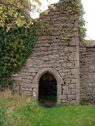 Templecross Grave Yardgraveyard/cemetery · 347 yd
 Site of CrossCross · 372 yd
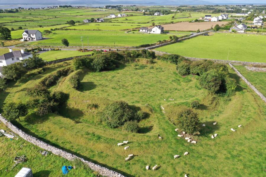 Fairy fort / ringfort in Grange (moygoish By.)Fairy fort / ringfort · 971 yd
 Baronstown ForestWood · 1.2 mi
 Castle Quarter, Castle (in ruins)Castle, unclassified · 1.3 mi
 Horse-chestnutHorse-chestnut · 1.3 mi
 CastleCastle, motte and bailey · 1.5 mi
 Craft WorkshopHeritage attraction · 9.5 mi
 Guest ServicesVisitor information · 9.6 mi
 Newcastle WoodsForest · 10 mi
 Rock of CurryCliff · 11 mi