What is recorded here
Situated immediately NE of an overgrown trackway, in flat meadowland. The monument is heavily masked by dense scrub vegetation. A rectangular area (L 19m N-S by Wth 7.8m E-W) is enclosed by a dilapidated field wall. The ground is raised (D 0.3m) with rubble and cut by a recent channel, except to the SW where a smaller rectangular area (c. 3m N-S by 2.5m E-W) with an entrance (Wth 0.9m) to the N, is enclosed by partly collapsed mortared stone walls. Ó Danachair (1955, 214) describes it as 'a small well, about four feet deep, with steps leading down'. It was associated with a cure for eye ailments (ibid.).
See attached photo taken in 1954 by Caoimhín Ó Danachair, courtesy of and © National Folklore Collection, UCD. The Photographic Collection, F025.21.00415 accessible online at www.duchas.ie/en/cbeg/17068.
Compiled by: Denis Power
Revised by: Caimin O'Brien
Date of revised upload: 2 October 2020
A local holy well or ritual site; wider significance not recorded.
The monument record does not grant public access. Check the route and ask the landowner before entering private land.
- What survives
- Recorded monument
Places near here
 Man-made underground passage in RossbrienMan-made underground passage · 67 yd
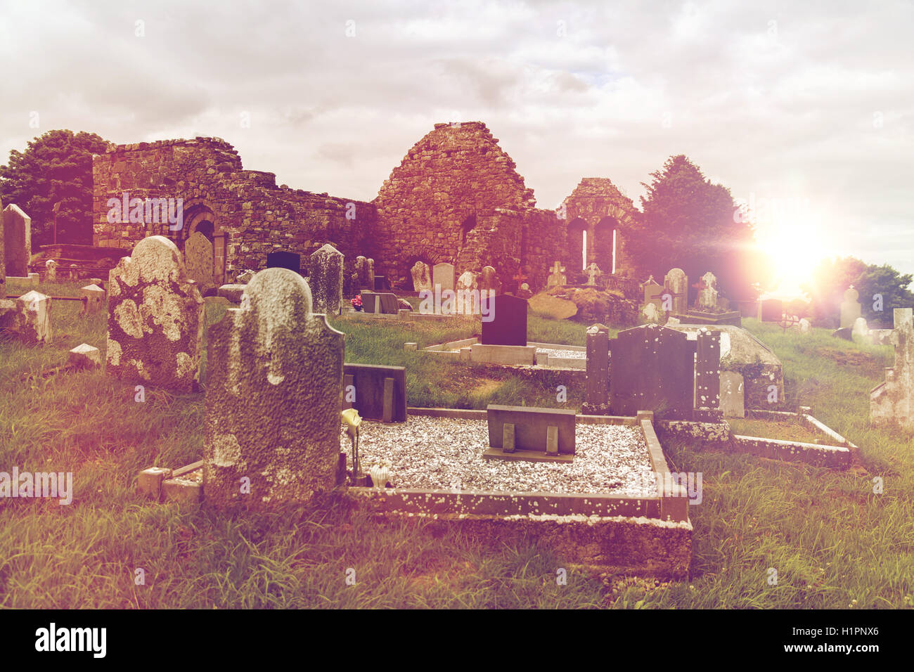 Grave YardGraveyard · 199 yd
 St. Dominicks Church (in ruins)Church · 202 yd
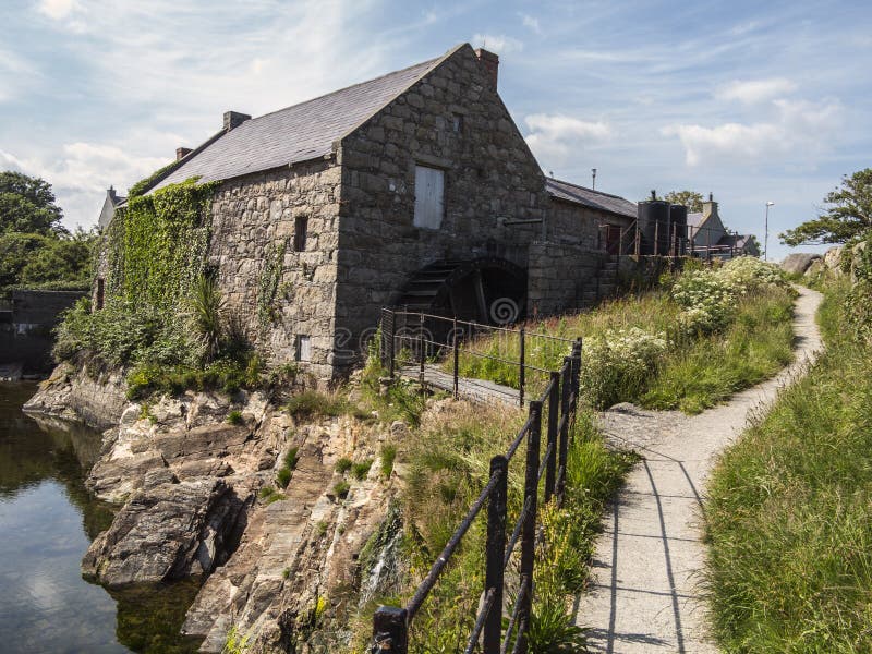 Shanwillen Old MillMill, unclassified · 1225 yd
 Castle (in ruins)Castle, tower house · 1.3 mi
 CastleCastle, unclassified · 1.5 mi
 Limerick Seamen's MemorialMemorial · 1.6 mi
 Saint John Paul IIMemorial · 1.6 mi
 Fountain SculptureHeritage attraction · 3.4 mi
 Visitor CentreVisitor information · 3.5 mi
 Campus MapVisitor information · 3.5 mi
 Seán Keating GalleryGallery · 4.7 mi