What is recorded here
Situated on a slight rise, in gently undulating pasture, with good views except where limited from SE-S-SW due to higher ground. In SW quadrant of ringfort (WM018-100----) are the remains of a large subrectangular-shaped area (dims. 11m NE-SW; 10m NW-SE) defined by a low earth and stone bank. Monument is visible as a grass covered house site on Digital Globe aerial photography.
Compiled by: Alison McQueen, Vera Rahilly and Caimin O’Brien
Date of upload: 05 February 2019
The monument record does not grant public access. Check the route and ask the landowner before entering private land.
- What survives
- Recorded monument
Places near here
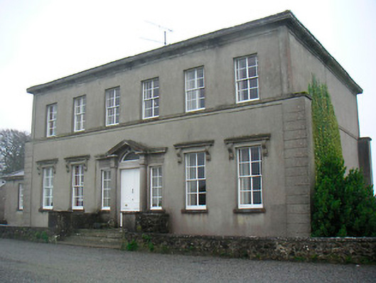 Mount Dalton Housecountry house · 543 yd
 Partially hachuredFairy fort / earthen ringfort · 550 yd
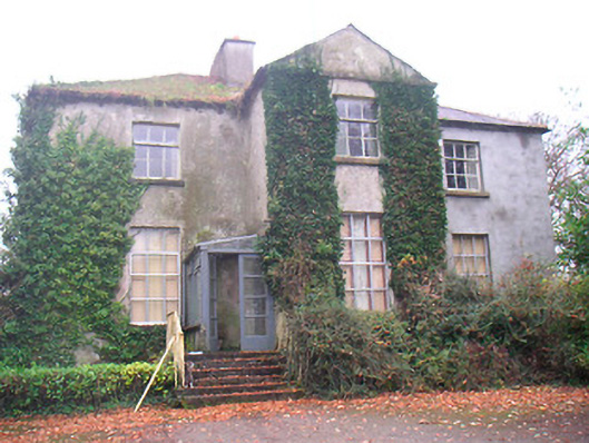 Rathconrath Houserectory/glebe/vicarage/curate's house · 636 yd
 Mweeleen MoatArchaeological place · 750 yd
 RathconrathCastle, motte · 1178 yd
 CastleCastle, unclassified · 1306 yd
 Ancient Ring FortWood · 1433 yd
 Hill of UisneachMountain / peak · 2.6 mi
 European ashEuropean ash · 3.4 mi
 Abbeyshrule AbbeyRuins · 6.6 mi
 Guest ServicesVisitor information · 7.7 mi
 Goldsmith Birthplace, PallasVisitor information · 7.9 mi