
What is recorded here
Situated on a slight natural rise surrounded by gently undulating grassland with wide views of the surrounding countryside. Ringfort (WM010-027----) 190m to NNE, and site of levelled castle (WM010-030----) 180m to SSE. Depicted as a semi-circular shaped enclosure intersected at E by a roadway running N-S. This roadway forms the townland boundary with Paddinstown Lower. A small sub-circular shaped area (approx. diam. 27m N-S; 30m E-W) enclosed by a poorly preserved bank of earth and stone and very slight external fosse. The bank forms part of a field boundary from SW-N and has been steepened and faced with stone externally. Traces of cultivation ridges are visible running NNW-SSE across the interior. There is a vague circular depression (Wth 2.6m) at the centre of the monument which may be the remains of a potato pit. The enclosing element of the site appears to have been levelled from SE-S-SW as visible on Digital Globe aerial photograph taken November 2011.
See attached profile of monument surveyed and drawn by the ASI.
Compiled by: Frank Coyne and Caimin O'Brien
Date of upload: 9 June 2017
The monument record does not grant public access. Check the route and ask the landowner before entering private land.
- What survives
- Recorded monument
Places near here
 Site of CastleCastle, unclassified · 185 yd
 Partially hachuredFairy fort / earthen ringfort · 679 yd
 Partially indicatedFairy fort / ringfort · 1538 yd
 Church (in Ruins)Church · 1595 yd
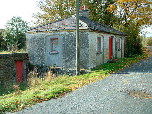 38th Locklock keeper's house · 1658 yd
 CastleCastle, unclassified · 1.9 mi
 Sessile OakSessile Oak · 3.0 mi
 Ancient Ring FortWood · 3.0 mi
 Abbeyshrule AbbeyRuins · 3.2 mi
 Goldsmith Birthplace, PallasVisitor information · 5.0 mi
 Craft WorkshopHeritage attraction · 5.0 mi
 Noughaval CemeteryArchaeological place · 8.5 mi
Other information
Photo: Credit not shown in the picture search · Rights wording not checked; contact us if this picture should be removed