What is recorded here
Situated on SW facing slope of rising ground, with limited views. In centre of ringfort (WM018-045----) are the remains of a rectangular house site (dims. 7.8m NW-SE; 7.2m NE-SW) enclosed by an earth and stone bank (H 1m; Wth 2.8m). A slight gap (Wth at top 3.3m; basal Wth 1m) is visible in the SE side. There is a disturbance gap and a shallow depression in the N corner. There is a similar depression at the inner foot of the bank at W. A slight bank extends to ENE from the N corner of the house site, toward the modern field boundary. The interior of the house is slightly lower across the NE half than the SW half.
See attached sketch plan of monument surveyed and drawn by the ASI.
Compiled by: Alison McQueen, Vera Rahilly and Caimin O’Brien
Date of upload: 04 February 2019
The monument record does not grant public access. Check the route and ask the landowner before entering private land.
- What survives
- Recorded monument
Places near here
 OutlinedHut site · 279 yd
 Partially hachuredFairy fort / earthen ringfort · 349 yd
 Milltown Castle in ruinsCastle, unclassified · 455 yd
 Ancient Ring FortWood · 553 yd
 Saint Mary's Catholic Churchchurch/chapel · 877 yd
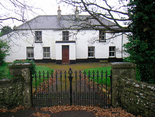 Ballyglass Househouse · 1293 yd
 RathconrathCastle, motte · 1455 yd
 Baronstown ForestWood · 4.5 mi
 Craft WorkshopHeritage attraction · 7.1 mi
 Guest ServicesVisitor information · 7.2 mi
 Goldsmith Birthplace, PallasVisitor information · 7.3 mi
 Newcastle WoodsForest · 8.0 mi