What is recorded here
Situated on a knoll on the top of a steep hill on demesne lands of Mount Dalton House now Loughazon Hall located 235m to SSE, with good views in all directions. Depicted as a circular shaped tree-plantation centred on a spot height (168m/551ft OD) on the 1837 OS 6-inch map. Annotated on the 1837 OS Fair Plan map as ‘Loughan Spire’.
Described in 1983 as a very large circular-shaped tree-ring (approx. diam. 78m) enclosed by a well-preserved stone wall (approx. H 1m). A man-made mound or tumulus (WM017-105001-) occupies the centre of the enclosure and may be a reformed antiquity or an estate feature associated with Loughazon Hall [Mount Dalton House], which lies c. 260m to SE. Monument is visible as a circular-shaped tree-planted area on Digital Globe aerial photography.
Compiled by: Alison McQueen, Vera Rahilly and Caimin O’Brien
Date of upload: 09 January 2019
The monument record does not grant public access. Check the route and ask the landowner before entering private land.
- What survives
- Recorded monument
Places near here
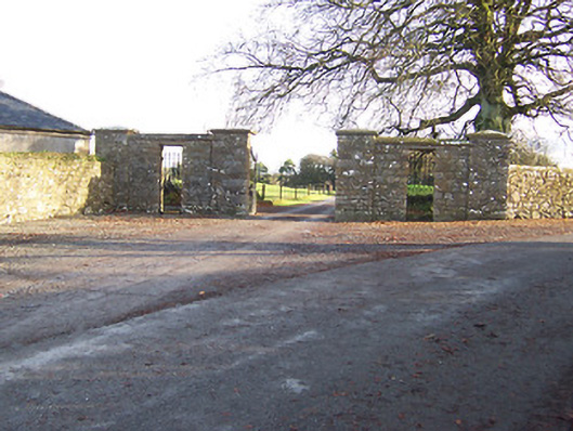 Mount Dalton Housegates/railings/walls · 447 yd
 Partially hachuredFairy fort / ringfort · 472 yd
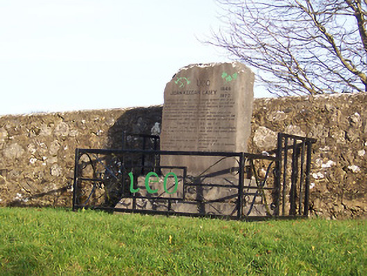 John Keegan Casey Monumentmonument · 533 yd
 Hut site in Ballynacarrow (rathconrath By.)Hut site · 542 yd
 Ancient Ring FortWood · 1702 yd
 RathconrathCastle, motte · 1.0 mi
 CastleCastle, unclassified · 1.1 mi
 Hill of UisneachMountain / peak · 2.3 mi
 European ashEuropean ash · 3.0 mi
 Abbeyshrule AbbeyRuins · 6.4 mi
 Guest ServicesVisitor information · 7.4 mi
 Goldsmith Birthplace, PallasVisitor information · 7.6 mi