
What is recorded here
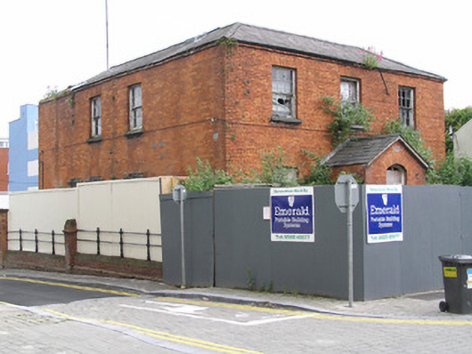
The ruins of a stone-built house on N side of Gaol Lane which is indicated on the Urban Survey map (Bradley 1989) but is not described in the text. It appears to have had chamfered limestone jambs for window opes at first floor level and therefore could be late medieval in date (Denis Power 18th August 2011).
See attached location map from urban Survey showing building in red outline.
Compiled by: Caimin O'Brien
Date of upload: 28 November 2019
The monument record does not grant public access. Check the route and ask the landowner before entering private land.
- What survives
- Recorded monument
Places near here
 TholselRuins · 24 yd
 Mary Street Garda Síochána Stationgarda station/constabulary barracks · 38 yd
 OutlinedCastle, tower house · 50 yd
 Bourke HouseHeritage attraction · 118 yd
 Burial ground in Limerick City,saint Francis AbbeyBurial ground · 149 yd
 CrossCross, Market cross · 153 yd
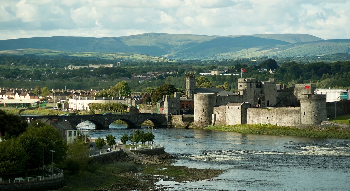 CastleCastle, unclassified · 214 yd
 Grove IslandIslet · 256 yd
 Hunt MuseumMuseum · 271 yd
 Siege of Limericksiege · 322 yd
 Graveyard in Limerick CityGraveyard · 339 yd
 Curragower FallsWaterfall · 404 yd
Other information
Photo: Credit not shown in the picture search · Rights wording not checked; contact us if this picture should be removed