
What is recorded here
A monastery at Lemanaghan (Liath Manchán) was founded in the 7th century by Manchán whose feastday is celebrated on the 24th of January (Ó Riain 2011, 429). The length of the roadway measures 249m with an average width of 3m. The road is made up of large boulders and natural bedrock. The togher appears to connect Lemanaghan church (OF015-004003-) with the oratory known as St. Mella's Cell (OF015-004006-) which is located to the SE of the church and graveyard.
The togher is part of an archaeological complex consisting of an ecclesiastical enclosure (OF015-004008-),a tower house (OF015-004001-), church (OF015-004003-), several early christian cross-slabs (OF015-004005-/032-) and architectural fragments in the interior of the church. To the NW there is a rectangular building (OF015-004009-) possibly of late medieval date. Possible oratory or hermitage (OF015-004006-) located to the SE of the church.
See attached geophysical image of section through togher by Gibson 2004
The above description is derived from the published 'Archaeological Inventory of County Offaly' (Dublin: Stationery Office, 1997). In certain instances the entries have been revised and updated in the light of recent research.
Compiled and revised by: Caimin O'Brien
Date of revised upload: 14 September 2018
The monument record does not grant public access. Check the route and ask the landowner before entering private land.
- What survives
- Recorded monument
Places near here
 Ecclesiastical enclosure in LemanaghanEcclesiastical enclosure · 113 yd
 Enclosure in LemanaghanEnclosure · 119 yd
 European ashEuropean ash · 129 yd
 St. Managhans ChurchChurch · 205 yd
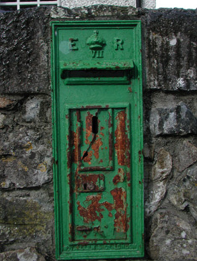 post boxpost box · 250 yd
 Lemanaghan CastleCastle, tower house · 300 yd
 Castle ArmstrongHouse, fortified house · 1.9 mi
 Cocta HillMountain / peak · 2.1 mi
 Saint Reaghan's WellSpring · 3.4 mi
 Inchaloon IslandIslet · 3.8 mi
 Ballylin Bog BoardwalkHeritage attraction · 3.9 mi
 Endrim HillMountain / peak · 4.6 mi
Other information
Photo: Credit not shown in the picture search · Rights wording not checked; contact us if this picture should be removed