What is recorded here
In wet pasture, in the SE corner of a coniferous plantation, 28m W of townland boundary with Mitchelstowndown North. An enclosure (LI048-023----) lies 100m to the S. Depicted as a pond on 1840 ed. OSi 6-inch map and not as an antiquity. Indicated as a non-antiquity where it is shown as a D-shaped area (dims. c. 39m N-S; 33m E-W) indicated with a solid line in the same fashion as the surrounding field boundaries. Visible as a rush covered dried up pond on Digital Globe orthoimage taken 2011-13. Pond feature possibly a natural water feature or a designed landscape pond associated with nearby country houses.
See attached Google Earth orthoimages.
Compiled by: Fiona Rooney
Date of upload: 27 May 2021
The monument record does not grant public access. Check the route and ask the landowner before entering private land.
- What survives
- Recorded monument
Places near here
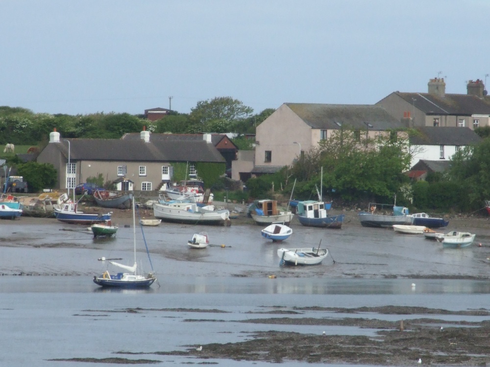 BarrowBarrow, ditch barrow · 420 yd
 Field system in Mitchelstowndown NorthField system · 634 yd
 Edmund's WellSpring · 879 yd
 Church in BallynahinchChurch · 1478 yd
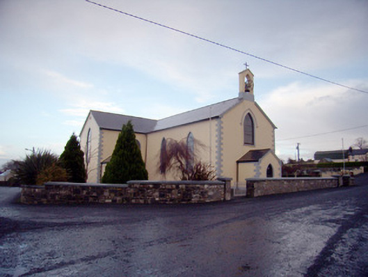 Saint Joseph's Catholic Churchchurch/chapel · 1534 yd
 Castle (in ruins)Castle, tower house · 1.1 mi
 St Patrick's WellSpring · 1.1 mi
 Ballinvreena LoopVisitor information · 1.9 mi
 Ryves CastleCastle, unclassified · 2.0 mi
 SlievereaghMountain / peak · 2.6 mi
 Carn (site of)Cairn, burial cairn · 3.4 mi
 Darby's Bed Walk LoopWalking route · 4.0 mi