
What is recorded here
In pasture, 140m SE of townland boundary with Uregare and 500m E of Greenpark House. Possible site (No. 040175) identified as a circular enclosure during examination of aerial photographs (BGE 1/5000, 2548) taken 03/11/1984 on Bórd Gáis Éireann gas pipeline. This cropmark was depicted on the 1840 ed. OSi 6-inch map as a tree-lined irregular-shaped property boundary of a post-1700 house which stands in N. Partial enclosing element of paddock/garden boundary depicted on the 1897 ed. OSi 25-inch map and partially shown on the Cassini OSi 6-inch map as a field boundary from NW-N-E. Not depicted as an antiquity on any ed. OSi historic maps. This curving earthwork represents the partial remains of a post-1700 boundary belonging to a range of post-1700 buildings depicted on the 1840 ed. OSi 6-inch map that were levelled between 1840 and 1897 ed. OSi maps. However, the levelled earthwork is visible as a multi-vallate circular shaped cropmark (overall diam. c. 93m) indicative of an archaeological monument on Google Earth orthoimages. Possibly the site of an archaeological enclosure that was reused as a property boundary in the post-1700 period. This feature was described by Gowen (1984) as an 'unusual circular drain system, would it have re-used already cut ditches of an enclosure'.
See attached Google Earth orthoimages
Compiled by: Fiona Rooney
Date of upload: 12 May 2021
The monument record does not grant public access. Check the route and ask the landowner before entering private land.
- What survives
- Recorded monument
Places near here
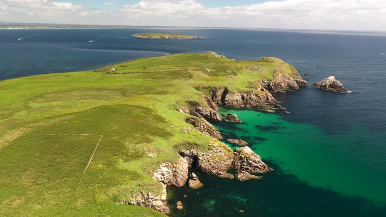 Fulacht fia in Goat IslandFulacht fia · 339 yd
 Site of Uregare ChurchChurch · 342 yd
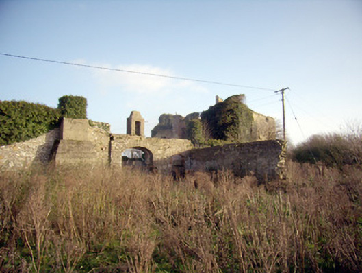 Greenpark Housecountry house · 802 yd
 post boxpost box · 1255 yd
 Ballygrennan Castle (in ruins)Castle, tower house · 1634 yd
 Castle (in ruins)Castle, unclassified · 1.5 mi
 KnockainyMountain / peak · 3.3 mi
 Flat cemetery in Knockainy WestFlat cemetery · 3.9 mi
 St Patrick's WellSpring · 6.0 mi
 Ballinvreena LoopVisitor information · 6.2 mi
 Edmund's WellSpring · 6.2 mi
 SlievereaghMountain / peak · 7.8 mi
Other information
Photo: Credit not shown in the picture search · Rights wording not checked; contact us if this picture should be removed