What is recorded here
This is the site of a quarry, indicated as rock outcrop. It is not depicted as an archaeological monument on first edition of the OS 6-inch map. A large sub-circular field boundary enclosing an area of rock outcrop is indicated on the 1838 edition of the OS 6-inch map.
Compiled by: Caimin O'Brien
Date of upload / revision: 26 April 2010
The monument record does not grant public access. Check the route and ask the landowner before entering private land.
- What survives
- Recorded monument
Places near here
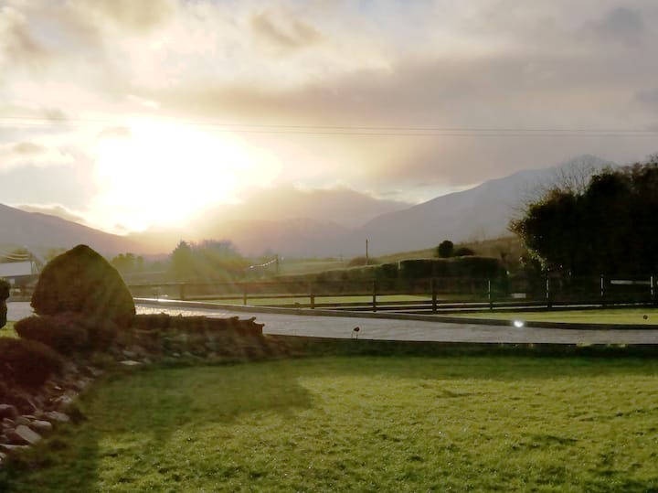 Enclosure in FermoyleEnclosure · 468 yd
 Bawn in FermoyleBawn · 644 yd
 Enclosure in GrenanEnclosure · 1284 yd
 Water CastleCastle · 1.1 mi
 Clonkeen Church (in ruins)Church · 1.2 mi
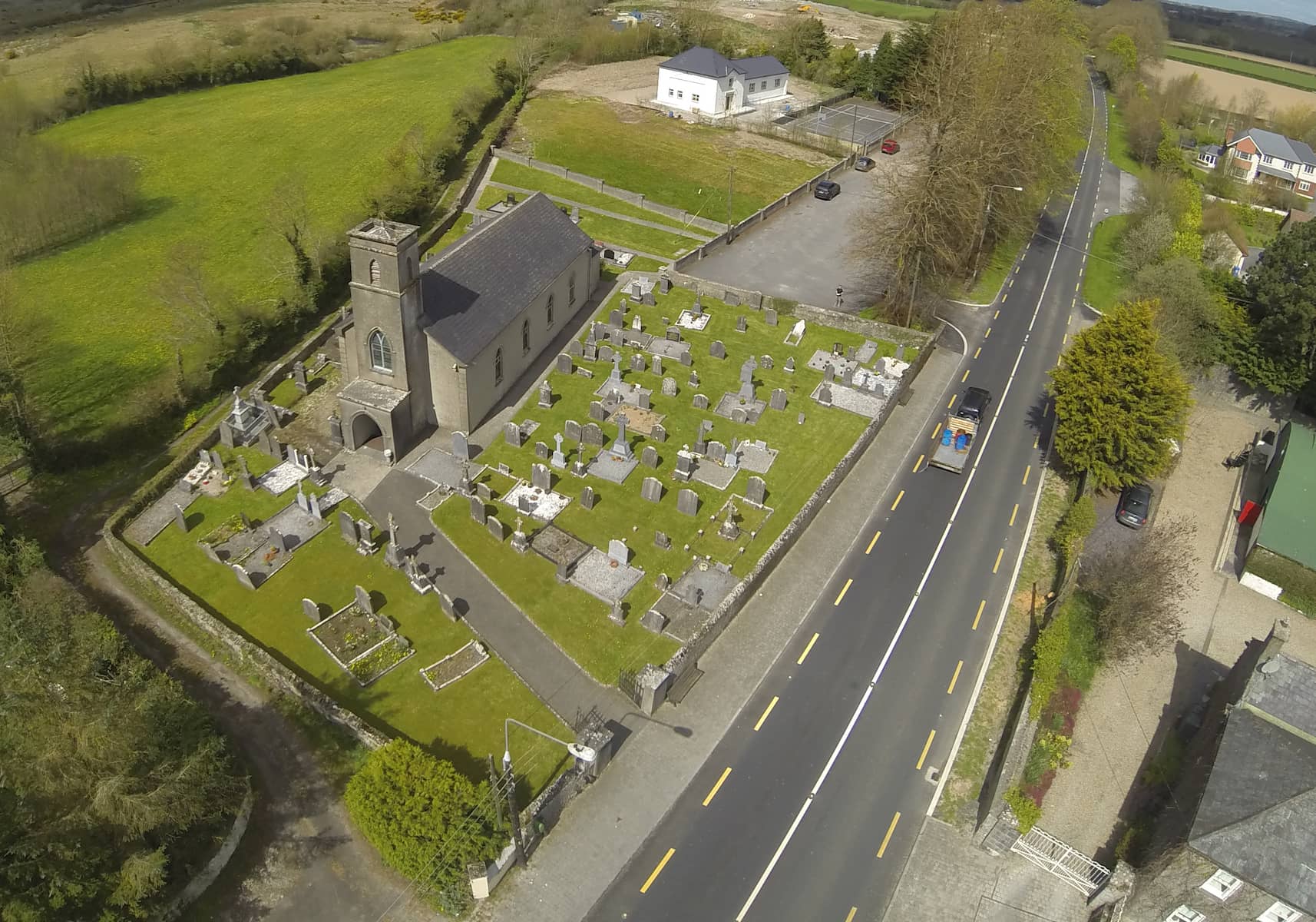 Church in DunmoreChurch · 1.2 mi
 1798 MonumentMemorial · 2.2 mi
 Pedunculate OakPedunculate Oak · 2.3 mi
 Common LimeCommon Lime · 2.4 mi
 Anker's IslandIsland · 3.3 mi
 Knocknamoe HouseMemorial · 3.7 mi
 Abbeyleix Heritage CentreMuseum · 4.0 mi