
What is recorded here
Situated on a shoulder of gradually rising ground, in improved pasture, with good views in all directions, particularly to S. Depicted on the 1837 ed. OS 6-inch map and the 1837 OS Fair Plan map as a small rectangular-shaped field (approx. dims. 51m NE-SW; 36m NW-SE) adjoining a field boundary running NE-SW to NW. Not depicted on the revised 1913 ed. OS 25-inch map. Not depicted as an antiquity on any edition of the OS 6-inch map.
Levelled earthwork described in 1983 as a circular-shaped area (approx. diam. 55m) defined by the remains of a levelled scarp. The scarp is best preserved from E-S-W, on the S side of a modern field boundary. The remaining segment of the scarp to N of the modern field fence, can be traced as a slight rise in the field surface from W-N-E. The faintest outline of a possible circular-shaped enclosure is visible on Digital Globe aerial photography.
Compiled by: Alison McQueen, Vera Rahilly and Caimin O’Brien
Date of upload: 11 January 2019
A local fairy fort (ringfort/rath); wider significance not recorded.
- Townland
- Davidstown
- Official type
- Enclosure
- Official record
- WM018-032----
- What survives
- Recorded monument
- Location
- Official recorded centre point
Other information
Photo: Credit not shown in the picture search · Rights wording not checked; contact us if this picture should be removed
The monument record does not grant public access. Check the route and ask the landowner before entering private land.
Places near here
 Partially hachured — DavidstownFairy fort / earthen ringfort · 479 yd
 Partially outlined — DavidstownFairy fort / earthen ringfort · 558 yd
 Milltown Castle in ruins — Milltown (rathconrath By., Rathconrath Ed)Castle — unclassified · 1241 yd
 Site of Castle — Simonstown (rathconrath By.)Castle — unclassified · 1634 yd
 Ancient Ring FortWood · 1687 yd
 Saint Mary's Catholic Church — Milltownchurch/chapel · 1717 yd
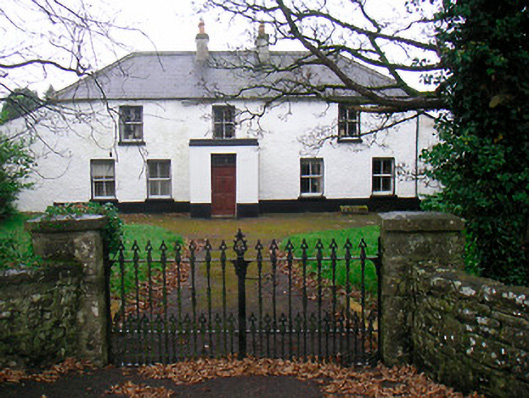 Ballyglass House — Rathconrathhouse · 1.2 mi
 Baronstown ForestWood · 3.8 mi
 Craft WorkshopHeritage attraction · 7.3 mi
 Guest ServicesVisitor information · 7.3 mi
 Goldsmith Birthplace, PallasVisitor information · 7.4 mi
 Newcastle WoodsForest · 8.1 mi