What is recorded here
Situated on flat reclaimed grassland to the east of a stream which serves as the townland boundary between Clontinteen and Croughal. Found as part of an assessment of a nearby tree felling licence application. Raised roughly rectangular-shaped area/platform defined by a scarp, ditch and outer bank of earth and stone bank, on average approximately 1m above ground level. Some stones visible in the bank in some areas. Possible fosse visible as a shallow hollow around the NW side of the monument. Small square-shaped annexe (dims. c. 15m NE-SW x 16m NW-SE) defined by a ditch to NW of possible moated-site. Extensive series of cultivation ridges throughout the field with linear ditches which may represent the remains of drainage ditches visible on aerial imagery.
Compiled by: Caimin O'Brien based on details provided by Johnny Ryan, archaeologist, Forestry Service, DAFM
Date of Compilation: 10 November 2025
The monument record does not grant public access. Check the route and ask the landowner before entering private land.
- What survives
- Recorded monument
Places near here
 IndicatedFairy fort / earthen ringfort · 247 yd
 Site of CastleCastle, unclassified · 986 yd
 Balrath Lodgehouse · 1017 yd
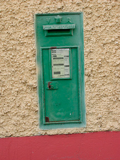 post boxpost box · 1472 yd
 Font (present location) in TogherstownFont (present location) · 1595 yd
 Ancient Ring FortWood · 1629 yd
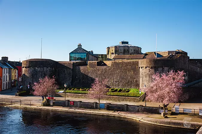 Oldtown CastleCastle · 1646 yd
 Hill of UisneachMountain / peak · 2.2 mi
 European ashEuropean ash · 3.0 mi
 KnockastiaMountain / peak · 6.2 mi
 Carrickphilbin IslandIslet · 6.6 mi
 Srudarra IslandIslet · 6.8 mi