What is recorded here
Enclosure described in 1942-3 as following; 'This monument consists of a low platform around which there is a fosse, an outer bank and an outer fosse. The entrance is on the north-east side, where there is a gap about 10' [3m] wide in the bank and the fosses are causewayed. The platform is 6' [1.8m] high over the fosse-bottom and the overall diameter is 295' [90m]. The outer fosse and bank have been cut away on the north and east sides in the making of fences' (O'Kelly 1942-3, 237). Upstanding monument clearly visible on oblique aerial photograph taken 20/07/1968 (CUCAP AVT024). Cropmark of levelled enclosure barely visible today on Digital Globe aerial photographs.
Compiled by: Caimin O'Brien
Date of upload: 4 March 2020
The monument record does not grant public access. Check the route and ask the landowner before entering private land.
- What survives
- Recorded monument
Places near here
 BarrowBarrow, unclassified · 92 yd
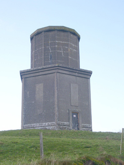 water towerwater tower · 362 yd
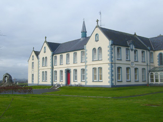 Presentation Conventconvent/nunnery · 392 yd
 St Johns Well (Site of)Holy well · 535 yd
 Flat cemetery in Knockainy WestFlat cemetery · 1.3 mi
 CastleCastle, motte · 1.4 mi
 Ballynamona Castle (Site of)Castle, unclassified · 1.7 mi
 Kilteely HillMountain / peak · 2.9 mi
 St. Patrick's WellSpring · 3.4 mi
 St Patrick's WellSpring · 3.6 mi
 Ballinvreena LoopVisitor information · 6.2 mi
 SlievereaghMountain / peak · 7.1 mi