What is recorded here
Prominently located at the end of a N-S ridge. A circular area (diam. c. 112m) defined by a massive bank (Wth c. 10.6m; int. H c. 3.5m; ext. H c. 1m) and external fosse except at NE. Possible entrance at ESE. Well in fosse at E.
The hillfort was recently described in the Atlas of Hillforts of Britain and Ireland as following; 'Large multiple enclosure surrounding the domed summit of Boley Hill, on the NE edge of the Castlecomer Hills. Widely spaced enclosing elements with a total site footprint of approximately 28.1ha. There is a simple break in the SW of the inner enclosing elements. Natural spring located in the ditch of the inner enclosing elements at the E. No evidence for any internal features on the surface. Inner rampart survives well throughout its circuit. The possible outer enclosing element survives as a curving field boundary in the W. This is concentric with the inner enclosing element. The remainder is likely to have been destroyed. Interior is under pasture. Tree cover within the interior of the inner enclosing elements. First map identification in first edition Ordnance Survey mapping. Monument survey by Sweetman et al. (1995, 16).' (http://hillforts.arch.ox.ac.uk/records/IR0738.html).
The above description is derived from the published 'Archaeological Inventory of County Laois' (Dublin Stationery Office, 1995) compiled by P. David Sweetman, Olive Alcock and Bernie Moran. In certain instances the entries have been revised and updated in the light of recent research.
Compiled by: David Sweetman
Revised by: Caimin O'Brien
Date of revised upload: 6 February 2020
The monument record does not grant public access. Check the route and ask the landowner before entering private land.
- What survives
- Recorded monument
Places near here
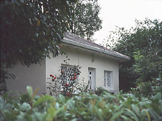 Gracefieldgate lodge · 828 yd
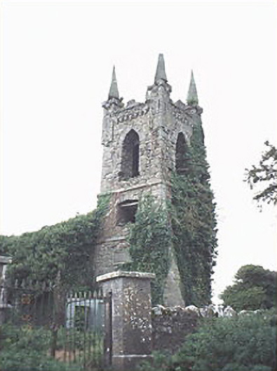 Rathaspick Churchchurch/chapel · 1358 yd
 Enclosure in Boley (ballyadams By.)Enclosure · 1450 yd
 Enclosure in Inch (ballyadams By.)Enclosure · 1546 yd
 Bawn in MilltownBawn · 1.1 mi
 Ballylehane CastleCastle, unclassified · 1.2 mi
 DM PenderMemorial · 4.2 mi
 Brackney WoodForest · 5.4 mi
 Mass Rock WalkWalking route · 5.4 mi
 Cobbler's Castle WalkWalking route · 5.5 mi
 Mass RockNamed rock · 5.6 mi
 European ashEuropean ash · 5.8 mi