What is recorded here
Situated in undulating pasture. Depicted on the 1837 ed. OS map as a pentagonal-shaped tree-lined enclosure (approx. dims. 48m E-W; 32m N-S). Poorly preserved monument described in 1983 as a slight curvature in the N field fence only which is defined by an earth and stone bank. The remaining enclosing elements have been removed to E, S and W. There is no trace of an external fosse. Monument is not visible today on Digital Globe aerial photography, except the curvilinear part of the field boundary which may represent the original bank of the enclosure.
Compiled by Alison McQueen, Vera Rahilly and Caimin O’Brien.
Date of upload: 10 November 2019
This remains an important historical record, but the official description says the monument is no longer visible or has been destroyed. The monument record does not grant public access. Check the route and ask the landowner before entering private land.
- What survives
- No visible remains or recorded as destroyed
Places near here
 Crannog in BallynahinchCrannog · 645 yd
 Partially indicatedFairy fort / earthen ringfort · 1161 yd
 Moyally Castle (in Ruins)Bawn · 1161 yd
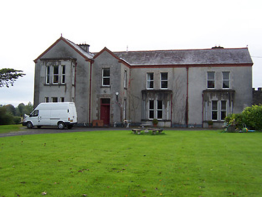 Ballinderry Housecountry house · 1503 yd
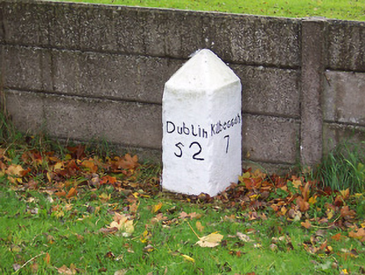 milestone/milepostmilestone/milepost · 1508 yd
 Bawn in Cartronkeel (clonlonan By.)Bawn · 1.4 mi
 Moate HillMountain / peak · 1.5 mi
 Charles BianconiMemorial · 1.6 mi
 The Bob Traynor GalleryGallery · 1.7 mi
 Dún na Sí Heritage CentreMuseum · 2.2 mi
 Roughan HillMountain / peak · 2.7 mi
 ToberaskeenSpring · 3.0 mi