What is recorded here
In pasture 60m E of the townland boundary with Ballyanrahan West and within the designed landscape associated with surrounding 18th and 19th century estates. Depicted as a grove of trees and not as an antiquity on the 1840 ed. OS 6-inch map. Depicted as a rectangular-shaped field (40m N-S X 25m E-W) planted with trees on the revised edition of the OS 6-inch map. Outline of tree-covered area visible on Google Earth orthoimage taken 14/2/2020. Probably a landscape feature associated with the surrounding estates.
See attached Google Earth orthoimages
Compiled by: Martin Fitzpatrick
Date upload: 23 June 2020
The monument record does not grant public access. Check the route and ask the landowner before entering private land.
- What survives
- Recorded monument
Places near here
 Enclosure in Faha DemesneEnclosure · 596 yd
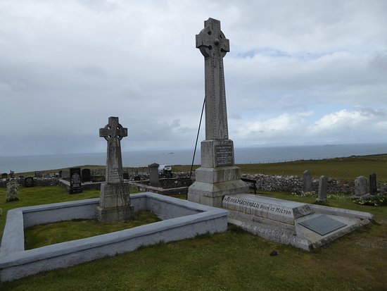 Kilcoran Grave Yd.Burial ground · 679 yd
 milestone/milepostmilestone/milepost · 730 yd
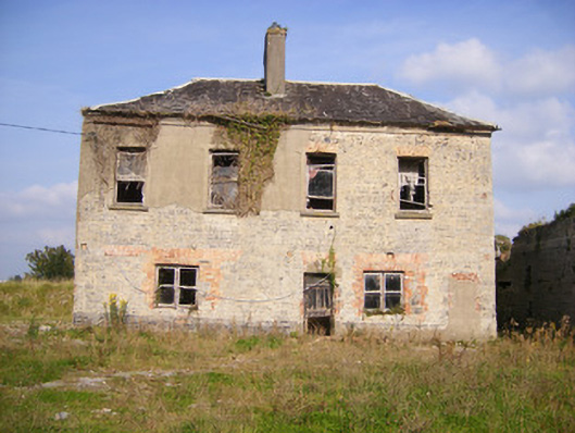 Faha Housecountry house · 867 yd
 Site of CastleCastle, unclassified · 2.1 mi
 CastleCastle, unclassified · 2.3 mi
 Sailors HaggardMemorial · 4.5 mi
 Grass IslandIslet · 6.2 mi
 Maiden RockNamed rock · 6.4 mi
 Kinnoor WellSpring · 6.7 mi
 Flat cemetery in Kiltenan SouthFlat cemetery · 6.9 mi
 Mellon PointHeadland · 6.9 mi