
What is recorded here
Located at the end of a high esker ridge running E-W in undulating countryside. Large circular area (diam. 77m N-S) enclosed by two earthen banks with a deep wide intervening fosse (Wth 4.5m; ext. D 3.4m) with original causewayed entrance (Wth 5m) at E, with modern gap at W (Wth 2.3m). The inner bank (Wth varies 2.5m - 4m; int. H 2.3m; ext. H 5.5m - 4m) is best preserved with outer bank visible only at S, elsewhere it is reduced to a scarp. The natural fall of the ridge at N forms part of the ringforts outer defences. There is a wide shallow depression in the N sector of the interior of unknown origin. Monument placed on the Register of Historic Monuments on the 16 December 1988.
The above description is derived from the published 'Archaeological Inventory of County Offaly' (Dublin: Stationery Office, 1997). In certain instances the entries have been revised and updated in the light of recent research.
Compiled & revised by: Caimin O'Brien
Date of revised upload: 19 December 2016
A local fairy fort (ringfort/rath); wider significance not recorded.
The monument record does not grant public access. Check the route and ask the landowner before entering private land.
- What survives
- Recorded monument
Places near here
 Site of Ballindown CastleCastle, unclassified · 724 yd
 Woodville WoodWood · 1383 yd
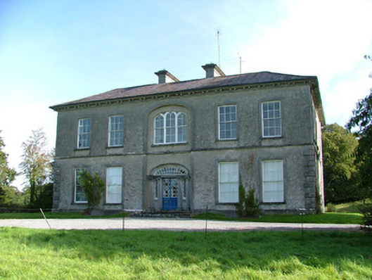 Tullynisk Housecountry house · 1.1 mi
 Enclosure in BallynaguilshaEnclosure · 1.3 mi
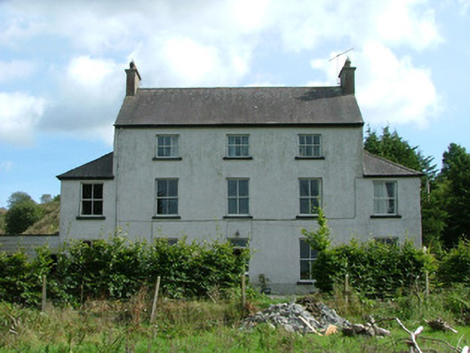 Woodlands Housecountry house · 1.4 mi
 Enclosure in LisheenEnclosure · 1.6 mi
 European BeechEuropean Beech · 2.0 mi
 James Franklin FullerMemorial · 2.1 mi
 Birr Heritage CentreMuseum · 2.1 mi
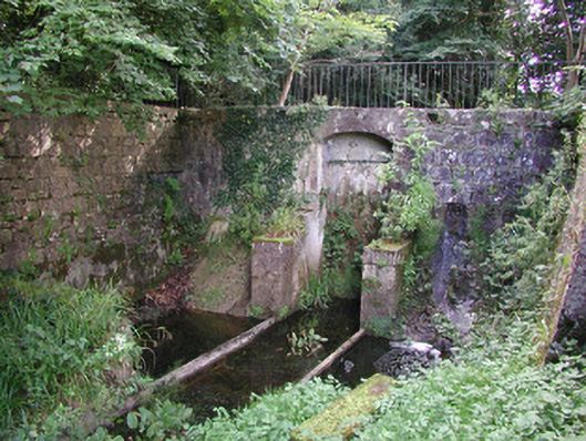 Birr Castlemachinery · 2.1 mi
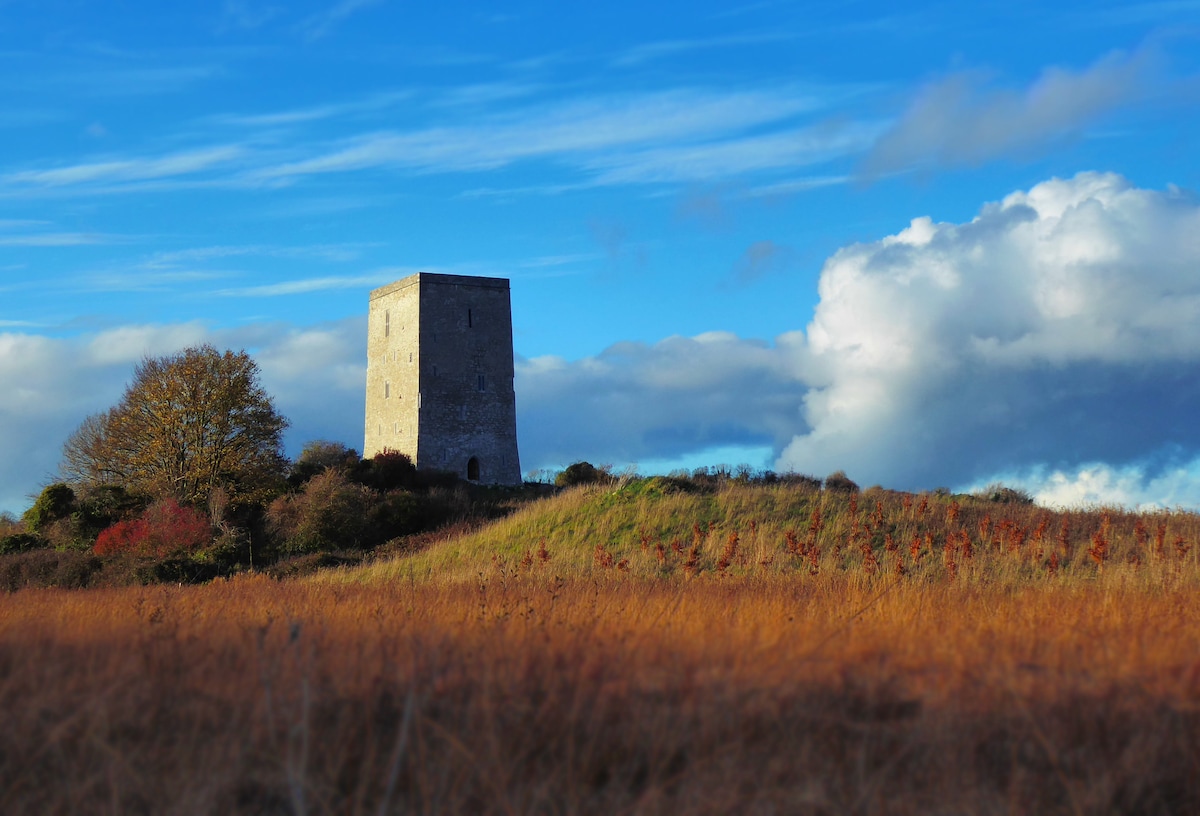 Black Castle (Site of)Castle, motte · 2.3 mi
 Waterfall PointViewpoint · 2.3 mi
Other information
Photo: Credit not shown in the picture search · Rights wording not checked; contact us if this picture should be removed