
What is recorded here
Situated on a low rise in pasture with moderate views of the surrounding landscape. Annotated 'Fort' on the 1837 OS Fair Plan map and depicted as a circular-shaped tree-lined enclosure to NW of Ardmore House. Depicted on the 1837 ed. OS 6-inch map as a circular-shaped tree-lined enclosure (approx. dims. 62m N-S; 63m E-W). Levelled monument described in 1980 as no surface remains visible. Faint curvilinear cropmark of levelled enclosure barely visible on Digital Globe aerial photography. Possible ringfort or tree-ring on the demesne lands of Ardmore House.
Compiled by: Alison McQueen, Vera Rahilly and Caimin O’Brien
Date of upload: 04 June 2019
A local fairy fort (ringfort/rath); wider significance not recorded.
- Townland
- Ardmore
- Official type
- Ringfort - unclassified
- Official record
- WM019-078----
- What survives
- Recorded monument
- Location
- Official recorded centre point
Other information
Photo: Credit not shown in the picture search · Rights wording not checked; contact us if this picture should be removed
The monument record does not grant public access. Check the route and ask the landowner before entering private land.
Places near here
 Hut site in ArdmoreHut site · 608 yd
 Boardstown Castle (in Ruins) — BoardstownCastle — tower house · 947 yd
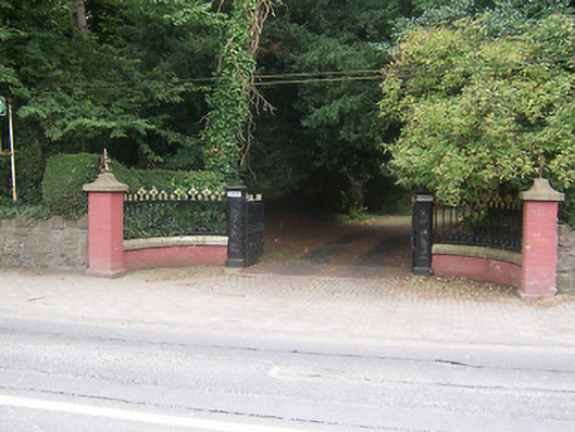 Glenmore — Bellview Roaddemesne walls/gates/railings · 1020 yd
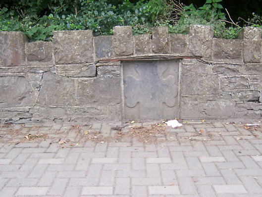 monument — Bellview Roadmonument · 1031 yd
 Indicated — Mullingar,petitswoodEcclesiastical enclosure · 1614 yd
 Augustinian Monks Memorial StatueMemorial · 1.1 mi
 Petits Castle Mote & Mill (Site of) — MullingarCastle — unclassified · 1.1 mi
 The Chimera GalleryGallery · 1.3 mi
 Famine MemorialMemorial · 1.3 mi
 Mullingar Cathedral MuseumMuseum · 1.4 mi
 Saint Brigid's WellSpring · 2.7 mi
 Long PlantingForest · 3.5 mi