What is recorded here
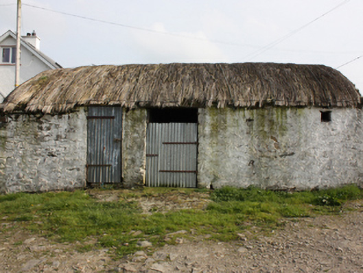
Detached three-bay single-storey vernacular outbuilding, built c. 1800. Pitched rounded straw-thatched roof with netting restraint and timber and metal rope stays to eaves. Whitewashed random rubble walls. Square-headed door openings with corrugated-metal doors. Set within grounds of modern bungalow. Thatched dwelling to south (see 40901238).
A good vernacular thatched outbuilding, surviving in fine condition and representing an increasingly rare example of its type. The scale and architectural integrity of this quaint building add to its charm, whilst contributing character to the surrounding village of Drumaville. The thatched house to south (40901238) adds significance as part of a group. An unnamed settlement is marked on the Ordnance Survey first edition six-inch map of c. 1837.
This does not grant access. Most recorded buildings are privately owned; view them only from public ground unless the owner allows entry.
Places near here
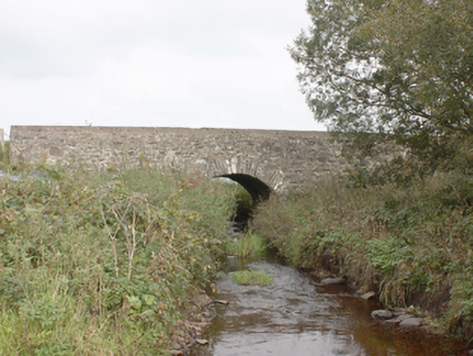 Drumnagassan Bridgebridge · 965 yd
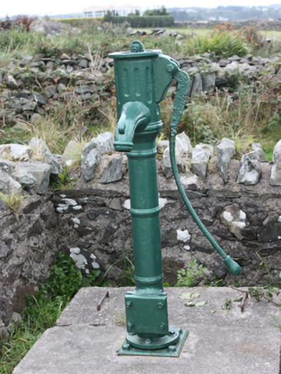 water pumpwater pump · 1084 yd
 Tremone BayBeach / strand · 1093 yd
 Penitential StationCross · 1.4 mi
 Sweathouse in Carrowblagh OR LeckemySweathouse · 1.8 mi
 The Spanish Armada 1588Memorial · 2.7 mi
 CuldaffOfficial bathing water · 3.2 mi
 CastleCastle, unclassified · 3.9 mi
 CrockaulinMountain / peak · 3.9 mi
 CrockavishaneMountain / peak · 4.6 mi
 Cooley CrossMemorial · 5.4 mi
 Inishowen Maritime Museum and PlanetariumMuseum · 5.7 mi
Other information
Photo: National Inventory of Architectural Heritage · Website use allowed for educational or private purposes with source credit