What is recorded here
Oughtdarra Resurgence in County Clare completes a hidden water journey, forcing underground rain and river flow back into daylight. The cave chamber may contain flooded passages, restricted sections, or hazards that no public warning can fully describe. Treat the emergence as a living landscape, not an invitation, because water, rock and ownership all change without notice.
The Irish Caves Database records Oughtdarra Resurgence at Oughtdarra in County Clare. This point comes from its public cave register. A cave map point does not by itself grant access: check local conditions and ask the landowner where needed.
The cave register does not grant public access. Check conditions and ask the landowner before entering private land.
Places near here
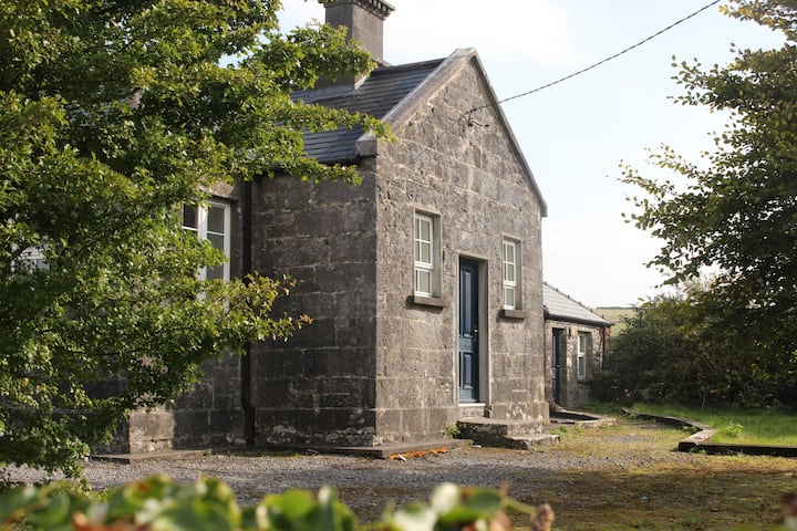 Enclosure in OughtdarraEnclosure · 198 yd
 IndicatedPromontory fort, inland · 478 yd
 OughtdarraCliff · 949 yd
 BallyryanCliff · 1371 yd
 The BurrenHeritage attraction · 1637 yd
 ( Poulomega ? )Cave · 1696 yd
 Ballinalacken CastleCastle · 1.1 mi
 Crumlin Church (in Ruins)Church · 1.4 mi
 Doolin Cave Visitor CentreHeritage attraction · 1.4 mi
 Doolin CaveCave · 1.4 mi
 CahernagrianFairy fort / stone ringfort · 537 yd
 Enclosure in Ballynalackan (cloghaun Ed)Enclosure · 1108 yd