What is recorded here
Otto is a shipwreck in County Down, Ireland. Perhaps the sailing vessel broke apart during a violent winter storm, scattering timber and canvas across the seabed. Maybe fishermen avoided that spot for decades because dark shadows still move beneath the green water. Imagine a brass lamp glowing faintly at thirty-seven metres, waiting for someone brave enough to dive toward its light.
The official Northern Ireland wreck record identifies Otto as Sailing vessel. It was lost in 1918. Recorded depth: 37m.
The *Otto* was a sailing vessel lost in 1918 off the coast of Northern Ireland, resting at a depth of 37 metres; details of lives or cargo lost are not recorded, though its preservation offers insight into early 20th-century maritime trade in the region.
A wreck point does not grant access or permission to dive, enter land, disturb the site or recover anything. Check current law and local conditions first.
Places near here
 Annalong Corn MillMill · 9.6 mi
 Mourne Coastal Route: Annalong - A Granite PortVisitor information · 9.6 mi
 Annalong Coastal PathWalking route · 9.7 mi
 Mullartown HouseHotel · 9.9 mi
 Black RockHeritage attraction · 11 mi
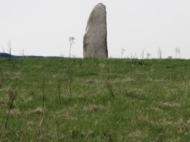 LongstoneArchaeological place · 11 mi
 CASHEL?: OLD CASTLE (unlocated) in GlasdrummanCASHEL?: OLD CASTLE (unlocated) · 11 mi
 CHURCH (in ruins); GRAVEYARD and ENCLOSURE: ST.MARY'S or BALLACHANERY or BLOODY BRIDGE in Ballaghanery UpperCHURCH (in ruins); GRAVEYARD and ENCLOSURE: ST.MARY'S or BALLACHANERY or BLOODY BRIDGE · 11 mi
 Round SeefinViewpoint · 11 mi
 Spences MountainMountain / peak · 12 mi
 Chimney Rock MtnMountain / peak · 12 mi
 Annalong WoodForest · 12 mi