What is recorded here
Situated towards the W edge of the triangular E end (dims c. 700m E-W; c. 700m N-S) of Lough Scur between Small Island, Prison Island and Whiskey Island. It is marked only on the 1907 edition of the OS 6-inch map where it is described in italic lettering as 'Otter Island'. An area (dims 35m N-S; 10m E-W) of reeds and bamboo is surrounded beneath the water by large timbers and stones but no structures can be identified.
The above description is derived from 'The Archaeological Inventory of County Leitrim' compiled by Michael J. Moore (Dublin: Stationery Office, 2003). In certain instances the entries have been revised and updated in the light of recent research.
Date of upload: 23 September 2008
The monument record does not grant public access. Check the route and ask the landowner before entering private land.
- What survives
- Recorded monument
Places near here
 Otter IslandIsland · 7 yd
 Whiskey IslandIslet · 101 yd
 Prison (in ruins)Ruins · 112 yd
 Castle JohnCastle · 223 yd
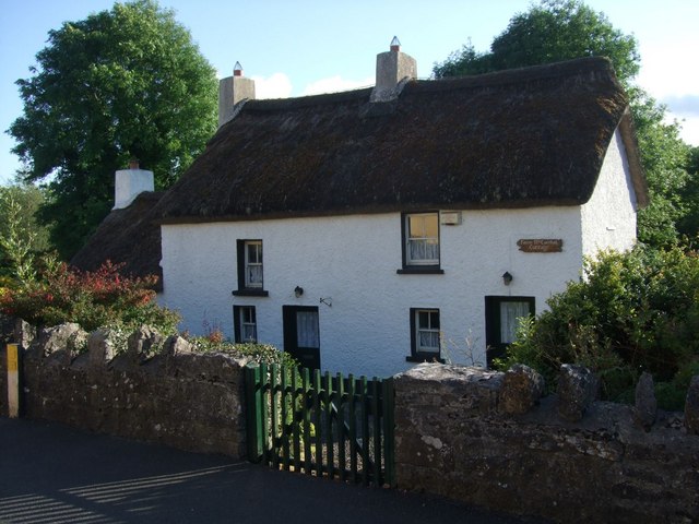 Fionn McCumhail Cottagehouse · 1089 yd
 Holy well in KiltubbridHoly well · 1699 yd
 IndicatedFairy fort / stone ringfort · 1.0 mi
 CastleforeCastle, tower house · 1.7 mi
 Sheemore Ambush MemorialMonument · 3.2 mi
 Leabaidh DermotCave · 3.5 mi
 Rocking StoneNamed rock · 4.5 mi
 Sliabh an IarainnMountain / peak · 4.6 mi