What is recorded here
1244 is a barely visible cairn at the southern edge of a conifer plantation in County Limerick, marked on older maps as a trigonometrical station and called Carn on a wider survey. It stands beside the boundary with Killeen, high enough to be noticed but small enough to be forgotten, the kind of place where measurement, memory and loss of direction become hard to separate. The trees may have swallowed most of it, yet the name still points to a exact spot, as if someone once climbed there, looked out, and refused to let the distance disappear.
In upland area at the S edge of a conifer plantation , immediately W of the townland boundary with Killeen. Depicted on the 1897 ed. OSi 25-inch map as a trigonometrical station. Annotated ‘Carn’ on the Cassini ed. OSi 6-inch map where it is depicted as a roughly circular-shaped mound marking a spot height of 1243ft (378m). Faint trace of cairn visible on Digital Globe orthoimage taken between 2011-13.
See attached Google Earth orthoimages.
Compiled by: Martin Fitzpatrick
Date of upload: 2 September 2021
A portal dolmen dating to the Neolithic or early Bronze Age; its significance lies in its possible association with early survey mapping and as a surviving megalithic monument in an upland setting.
The monument record does not grant public access. Check the route and ask the landowner before entering private land.
- What survives
- Recorded monument
Places near here
 Earthwork in BallintoberEarthwork · 833 yd
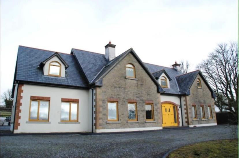 Enclosure in BallintoberEnclosure · 986 yd
 Ballintober Bridgebridge · 1079 yd
 Ballyhoura WayWalking route · 1642 yd
 Palatine's RockNamed rock · 1.0 mi
 SlievereaghMountain / peak · 1.3 mi
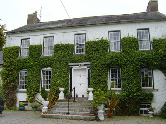 Spring Lodgecountry house · 1.6 mi
 Treada Na Ríogh (The Moat), hachuredCastle, motte · 2.0 mi
 Ballinvreena LoopVisitor information · 2.0 mi
 Castle (in ruins)Castle, tower house · 2.0 mi
 Ballyhoura tourist informationVisitor information · 2.1 mi
 Keale MountainMountain / peak · 2.8 mi