
What is recorded here
Pier, begun 1822; unfinished 1825; completed 1829; "perfect" 1830, on a cranked L-shaped plan with sandstone ashlar battered walls having benchmark-inscribed cut-limestone coping supporting tooled cut-limestone mooring posts. Set extending into Clew Bay.
A pier erected to a design by Alexander Nimmo (1783-1832), Engineer to the Western District (appointed 1822; replaced 1831), and with financial support from Howe Peter Browne (1788-1845), second Marquess of Sligo (Wilkins 2009, 353), representing an important component of the early nineteenth-century built heritage of the environs of Louisburgh: meanwhile, a discreet benchmark remains of additional interest for the connections with cartography and the preparations of maps by the Ordnance Survey (established 1824).
This does not grant access. Most recorded buildings are privately owned; view them only from public ground unless the owner allows entry.
Places near here
 Old Head BeachBeach / strand · 752 yd
 Oldhead Wood Nature ReserveWood · 990 yd
 ToberreendoneyHoly well · 1.0 mi
 Grave Yd.Graveyard · 1.1 mi
 Bellakip Bridgebridge · 1.8 mi
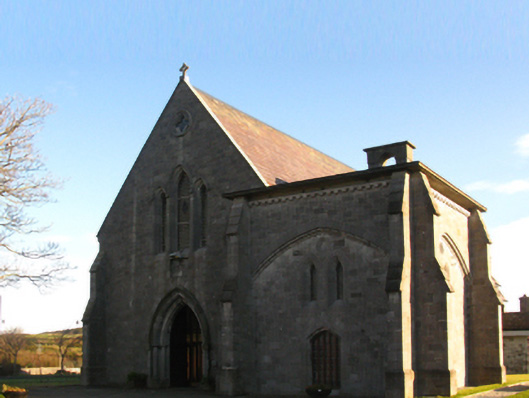 Saint Patrick's Catholic Churchchurch/chapel · 1.8 mi
 Carrowmore BeachBeach / strand · 2.2 mi
 O'Malley's CastleCastle · 3.0 mi
 Ben GoramMountain / peak · 3.6 mi
 Dorinish BegIslet · 4.6 mi
 Leaba PatrickMemorial · 4.6 mi
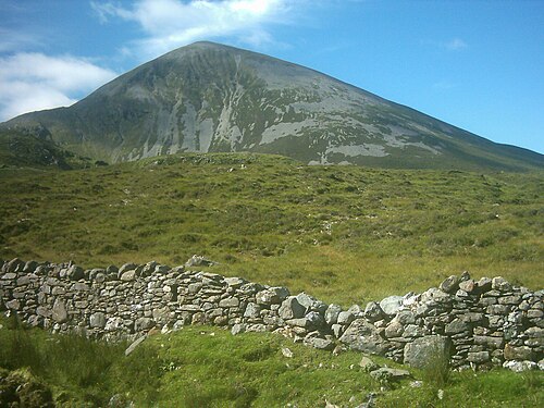 Croagh PatrickMountain / peak · 4.6 mi
Other information
Photo: Iashburner · CC BY-SA 4.0