What is recorded here
Old Weir crossed the River Feale beside Listowel Castle and may have been the fishery Sibilla claimed in 1304. The water still moves past that hidden line, carrying marrow, memory and the life of the place forward.
Annotated 'Old Weir' on the 1841 ed. OSi 6-inch map where it is shown crossing the River Feale from the S bank of Islandmacloughry (Oileán Mhic Luachra/Mac Loughrey's Island) to the middle of the River Feale which marks the townland boundary with Listowel. Listowel Castle (KE010-059----) and mill site (KE010-083----) 385m to the N. This 'Old Weir' may have been the site of the 'Fishery' mentioned in 1303-04. A second 'Old Weir' on the River Feale lies 230m to the SE in the townland of Ballygrenane. The Plea Roll of 32 Edward I, 1303-4 recorded that 'Sibilla, widow of Maurice son of Thomas, seeks against Nicholas son of Maurice one third of a house [KE010-059----], watermill [KE010-083----], lands (1,060 acres) and rent in Lystothyl (Listowel) in Altry, and of the fishery [KE010-082----] of the river Feer (Feale) in the same vill, and the third part of a house and lands (2,400 acres) and rent in Viale [Beale KE002-001001-] de Kyllesshene, as her dower' (Orpen 1924-5, 36). No surface remains visible at the location marked on the six-inch OSi map, however a stone weir is visible 80m to the N on Digital Globe orthophotos taken between 2011-13.
Compiled by: Caimin O'Brien
Date of upload: 14 September 2022
The monument record does not grant public access. Check the route and ask the landowner before entering private land.
- What survives
- Recorded monument
Places near here
 Saint Mary's Catholic Churchchurch/chapel · 447 yd
 Listowel Castle (in ruins)Castle, tower house · 450 yd
 Kerry Writers' MuseumMuseum · 488 yd
 Bryan MacMahonMemorial · 496 yd
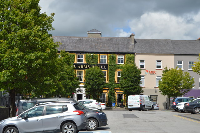 Listowel Arms Hotelhotel · 533 yd
 ListowelFairy fort / earthen ringfort · 770 yd
 John B. Keane GroveMemorial · 1054 yd
 Lartigue MonorailMuseum · 1058 yd
 Enclosure in Islandganniv NorthEnclosure · 1150 yd
 CastleCastle, tower house · 1.8 mi
 KnockanoreMountain / peak · 7.6 mi
 Kilflynn Nature ReserveNature reserve · 8.6 mi