What is recorded here
A humpback bridge (Wth 3.4m; long axis E-W) spanning a channel linking Muckross Lake to the Upper Lake. It is currently in use as a pedestrian bridge on a walking route in Killarney National Park. The bridge is built of random rubble and has two semicircular arches with roughly shaped voussoirs. There is a low pointed cutwater on the upstream side of the pier and a shallow rectangular projection on the downstream side. There are also buttress on each bank on the upstream side. The parapets have collapsed and the upper surface of the bridge is much degraded. This bridge is indicated and named 'Old Ware Bridge' on the estate map of the Kenmare estate, dated 1725.
Compiled by: Elizabeth Byrne, Ursula Egan and Sheila Ronan, Archaeological Survey Unit, University College, Cork.
Date of upload: 30 May 2011
The monument record does not grant public access. Check the route and ask the landowner before entering private land.
- What survives
- Recorded monument
Places near here
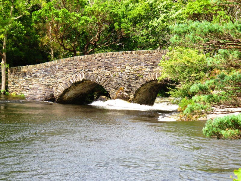 Old Weir Bridgebridge · 3 yd
 QuayQuay · 101 yd
 Meeting of the watersViewpoint · 192 yd
 English hollyEnglish holly · 218 yd
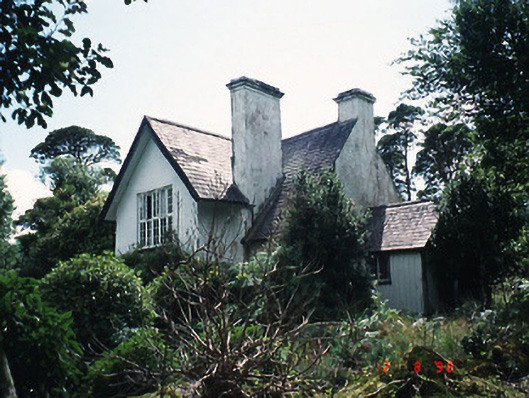 Dinish Cottageworker's house · 255 yd
 Bog BayBay · 419 yd
 Strawberry treeStrawberry tree · 1055 yd
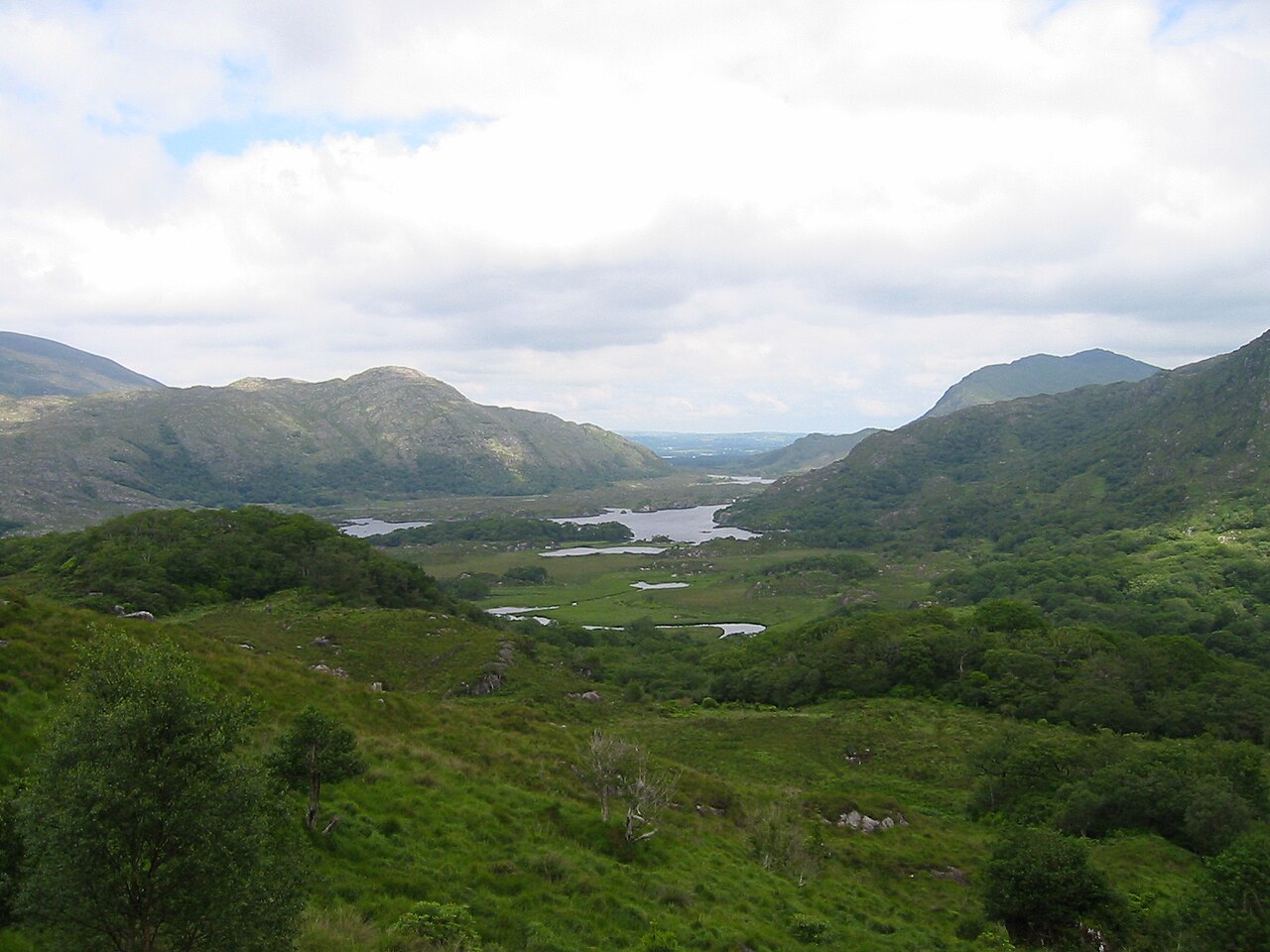 Killarney National ParkHeritage attraction · 1.0 mi
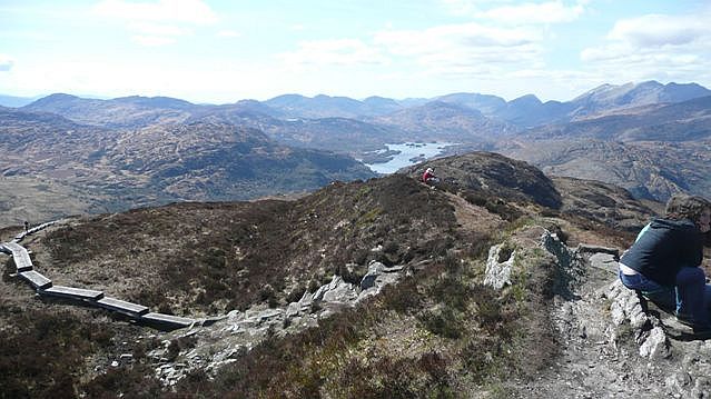 Torc Mountain W TopMountain / peak · 1.1 mi
 Eagles NestMountain / peak · 1.3 mi
 McRose BeachBeach / strand · 1.3 mi
 Devil's IslandIslet · 1.3 mi