What is recorded here
Described as 'Oldtown' in italic lettering on the 1837 and 1914 eds of the OS 6-inch map, and depicted as occupied on the 1837 ed. Situated towards the bottom of a SE-facing slope. Depicted on the 1837 and 1914 eds as a curving linear settlement (dims c. 250m N-S; Wth c. 100m E-W) of field boundaries and what may have been a roadway, extending over c. 5 acres (c. 2 ha). There were seven roofless structures with associated small fields or gardens upslope to the W in 1914. No feature is visible at ground level in reclaimed pasture. There is no evidence that this settlement is older than the 18th century.
Compiled by: Michael Moore
Date of upload: 24 August 2010
The monument record does not grant public access. Check the route and ask the landowner before entering private land.
- What survives
- Recorded monument
Places near here
 IndicatedFairy fort / stone ringfort · 292 yd
 Enclosure in Dooneen (roscommon By.)Enclosure · 1221 yd
 Church in Clooncraff (roscommon By.)Church · 1.1 mi
 Mullinashee WoodForest · 1.1 mi
 Maguire's WoodForest · 1.2 mi
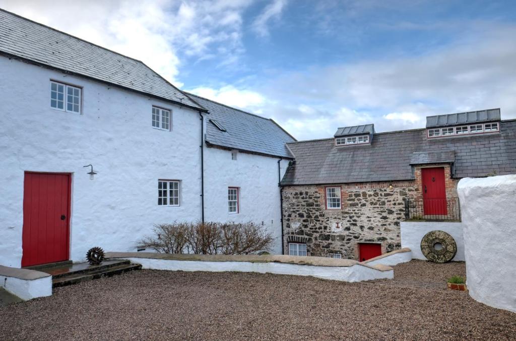 Old Corn KilnKiln, corn-drying · 1.3 mi
 Site of Dangan CastleCastle, unclassified · 2.3 mi
 Garrymond IslandIslet · 2.4 mi
 Hat IslandIslet · 2.4 mi
 CastleCastle, unclassified · 4.5 mi
 Patrick Gill Memorial Plaque (IRA)Monument · 4.6 mi
 Robert Strawbridge MemorialMemorial · 4.7 mi