What is recorded here
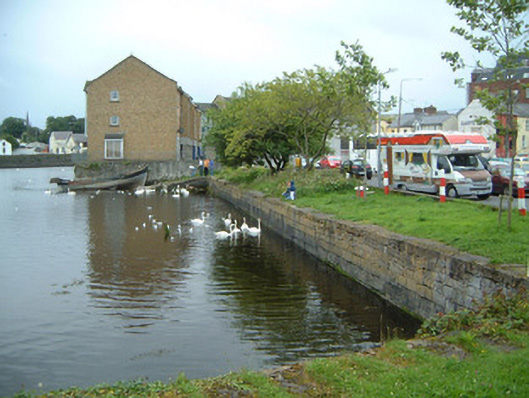
C-plan limestone harbour wall, built c. 1830, with slipway to south-east corner and returning squared limestone quay walls along river bank to east and west. Roughly-squared and coursed limestone walling. Limestone paving to quay surface, now largely grass covered and having variety of painted metal mooring posts. Situated at north of carpark, with Garavogue river to south-east.
This well-built harbour berth displays high levels of technical skill and craftsmanship. It is an important visual reminder of Sligo's historic role as one of Ireland's busiest nineteenth century ports. As many of the quayside buildings have been altered or replaced, it constitutes a particularly important survival.
This does not grant access. Most recorded buildings are privately owned; view them only from public ground unless the owner allows entry.
Places near here
 Famine MemorialMonument · 25 yd
 CastleCastle, Anglo-Norman masonry castle · 125 yd
 Sligo Town Halltown/county hall · 139 yd
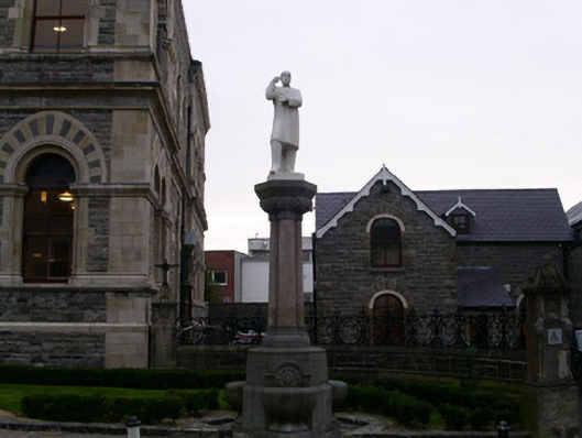 McHugh Monumentmonument · 156 yd
 Discover IrelandVisitor information · 258 yd
 SligoVisitor information · 375 yd
 Fortification in RathquarterFortification · 394 yd
 St. John's CathedralMemorial · 450 yd
 CrossCross, Market cross · 492 yd
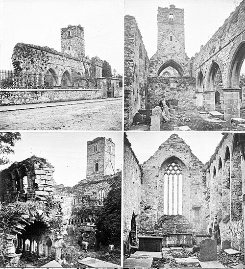 Sligo AbbeyMuseum · 562 yd
 Model Niland GalleryHeritage attraction · 587 yd
 European BeechEuropean Beech · 1483 yd
Other information
Photo: National Inventory of Architectural Heritage · Website use allowed for educational or private purposes with source credit