
What is recorded here
According to Flanagan (1984, 108) there was a tidal mill along the Malahide estuary which made use of the rise and fall of the tide. This is marked on Rocque's map of County Dublin. There is an'old mill race' marked on the OS 1843 edition and a house S of the shoreline shown as 'Mill View'. The tidal mill was probably located at the highest point to which the medium tide flows.
Compiled by: Geraldine Stout
Date of upload: 26 August 2011
The monument record does not grant public access. Check the route and ask the landowner before entering private land.
- What survives
- Recorded monument
Places near here
 AnchorMonument · 956 yd
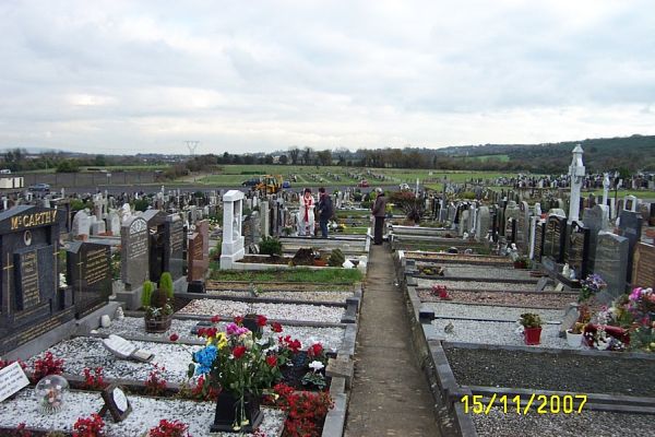 Burial in Corballis (nethercross By.)Burial · 1013 yd
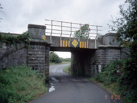 bridgebridge · 1076 yd
 Tide millTide mill, unclassified · 1305 yd
 Welcome To MalahideVisitor information · 1370 yd
 Casino Model Railway MuseumMuseum · 1597 yd
 Church (in ruins), Graveyard (disused)Church · 1721 yd
 Donabate BeachBeach / strand · 1.1 mi
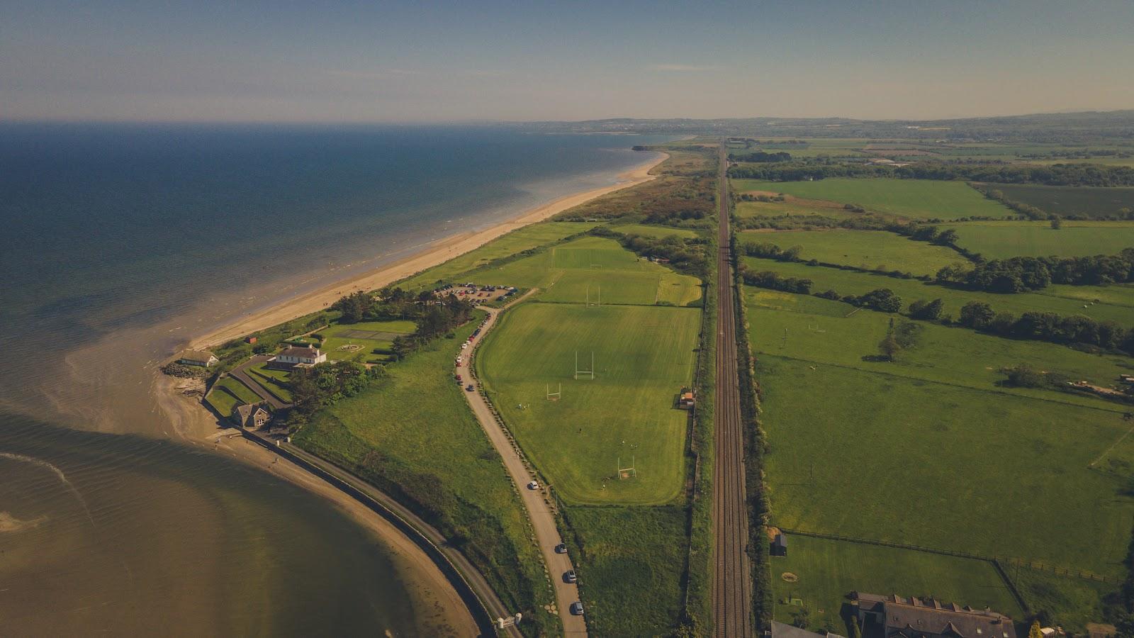 Corballis Nudist BeachBeach / strand · 1.1 mi
 Donabate Distributor RoadMemorial · 1.2 mi
 Malahide Castle Demesne Church (Ruin)Ruins · 1.3 mi
 Malahide DemesneVisitor information · 1.4 mi
Other information
Photo: Credit not shown in the picture search · Rights wording not checked; contact us if this picture should be removed