What is recorded here
Sir William Petty acquired a sizeable tract of land along the N shore of Kenmare Bay following the Cromwellian confiscations. It was in this area that he embarked upon his ambitious, though ill-fated, Glanaroughty ironworks project, which included building a furnace at Gortamullin. By 1672 this furnace was capable of reaching a weekly output of eleven or twelve tons of bar iron. Some time after 1677 the ironworks was temporarily closed, but it never reopened (Barnard 1982, 18, 31).
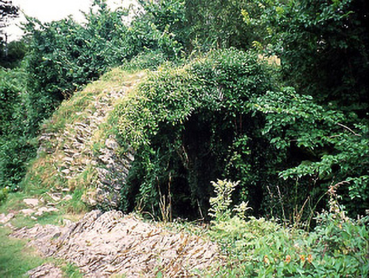
The site of the furnace is now occupied by modern bungalows, on the present NW outskirts of Kenmare town. Scattered lumps of vitreous slag are present along a 100m stretch of ground at the base of the steep, 4.5m high, W bank of the Finnihy river. These are mostly concentrated toward the centre of this stretch, at which point they are also to be found on the river-bed.
The above description is derived from A. O'Sullivan and J. Sheehan (compilers), 'The Iveragh peninsula: an archaeological survey of South Kerry'. Cork University Press (1996), no. 1461. In certain instances the entries have been revised and updated in the light of recent research.
Date of upload: 1 August 2013
The monument record does not grant public access. Check the route and ask the landowner before entering private land.
- What survives
- Recorded monument
Places near here
 TobermurryHoly well · 660 yd
 Cromwell's Bridgebridge · 793 yd
 Poor Clare's Conventconvent/nunnery · 821 yd
 Court Ho.Courthouse · 849 yd
 Kenmare Tourist Information OfficeVisitor information · 852 yd
 Kenmare Stone CircleHeritage attraction · 925 yd
 Monterey CypressMonterey Cypress · 933 yd
 Kenmare Heritage Town - Main StreetMemorial · 1003 yd
 The Lodge WoodWood · 1073 yd
 Mill Cove Gallery / John Brennan StudioGallery · 1110 yd
 StrickeenMountain / peak · 1.0 mi
 Dunkerron CastleCastle · 1.4 mi