What is recorded here
Situated in pasture on a shelf on the N side of the W-E Dawn river valley, with the stream c. 100m to the S. It is marked 'Old Grave Yard' on the 1840 ed. of the OS 6-inch map, and it was regarded by J. O'Donovan c. 1840 as the site of the church of St Dimóg' or St Dima (O'Flanagan 1929, 25-6). It was described as having an ecclesiastical enclosure (Power 1952, 370-1), which produced a bullaun stone (WA016-009003-) when it was cut in making a N-S lane.
Power, Rev. P. (1952) The placenames of the Decies. (second ed.) Cork University Press.
O'Flanagan, M. (Compiler) (1929) Letters containing information relative to the antiquities of the county of Waterford collected during the progress of the Ordnance Survey in 1841. Typescript. Bray.
Compiled by: Michael Moore.
Date of upload/revision: 20th December, 2010.
The monument record does not grant public access. Check the route and ask the landowner before entering private land.
- What survives
- Recorded monument
Places near here
 Church in Kilmoyemoge EastChurch · 1 yd
 Megalithic structure in CarrickanureMegalithic structure · 693 yd
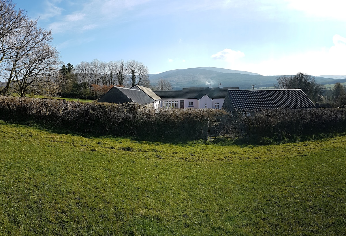 Enclosure in Kilmoyemoge EastEnclosure · 794 yd
 KilnKiln, corn-drying · 1388 yd
 Site of CastleCastle, unclassified · 1.6 mi
 Waterford & Suir Valley RailwayHeritage attraction · 1.8 mi
 Glenhouse WoodForest · 2.2 mi
 CastleCastle, unclassified · 2.4 mi
 Sargent's magnoliaSargent's magnolia · 2.5 mi
 Donnell's HillMountain / peak · 2.9 mi
 Mount Congreve GardensHeritage attraction · 3.1 mi
 St. Martin's WellSpring · 4.8 mi