What is recorded here
There is no trace of the 'Church in ruins' (DG026-024001-) shown here on the 2nd edition of the OS 6-inch maps. It was located inside the graveyard (DG026-024003-) close to the shore of Sheephaven Bay near Doe Castle.
The above description was derived from the 'Archaeological Survey of County Donegal. A description of the field antiquities of the County from the Mesolithic Period to the 17th century.' Compiled by: Brian Lacey with Eamon Cody, Claire Cotter, Judy Cuppage, Noel Dunne, Vincent Hurley, Celie O'Rahilly, Paul Walsh and Seán Ó Nualláin (Lifford: Donegal County Council, 1983). In certain instances the entries have been revised and updated.
Date of upload: 22 September 2008
The official description records surviving remains. Its missing or destroyed wording refers only to one part of this place or to a different nearby feature. The monument record does not grant public access. Check the route and ask the landowner before entering private land.
- What survives
- Visible or partial remains survive
Places near here
 Church (Site of)Church · 11 yd
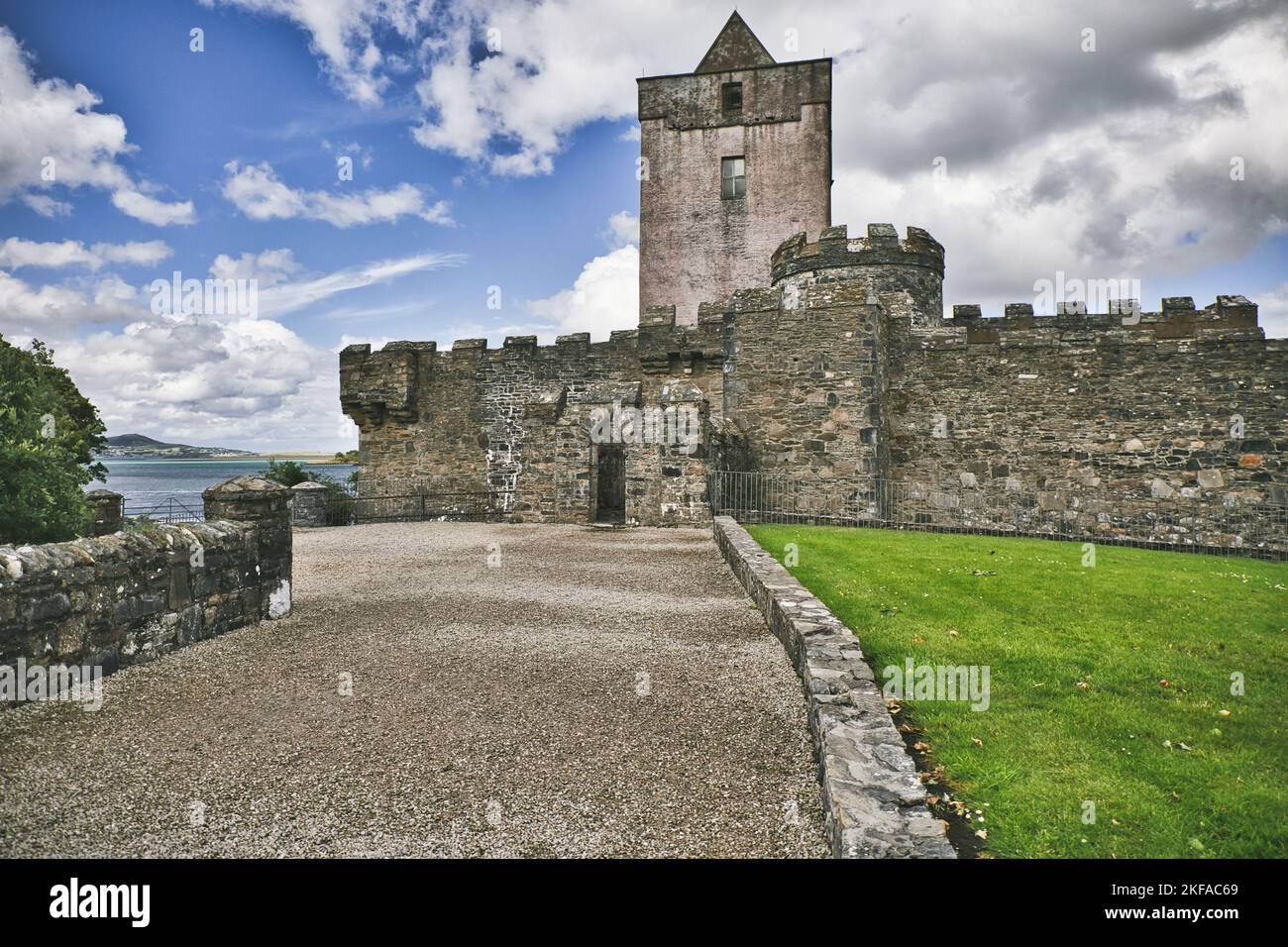
 Doe CastleCastle, tower house · 118 yd
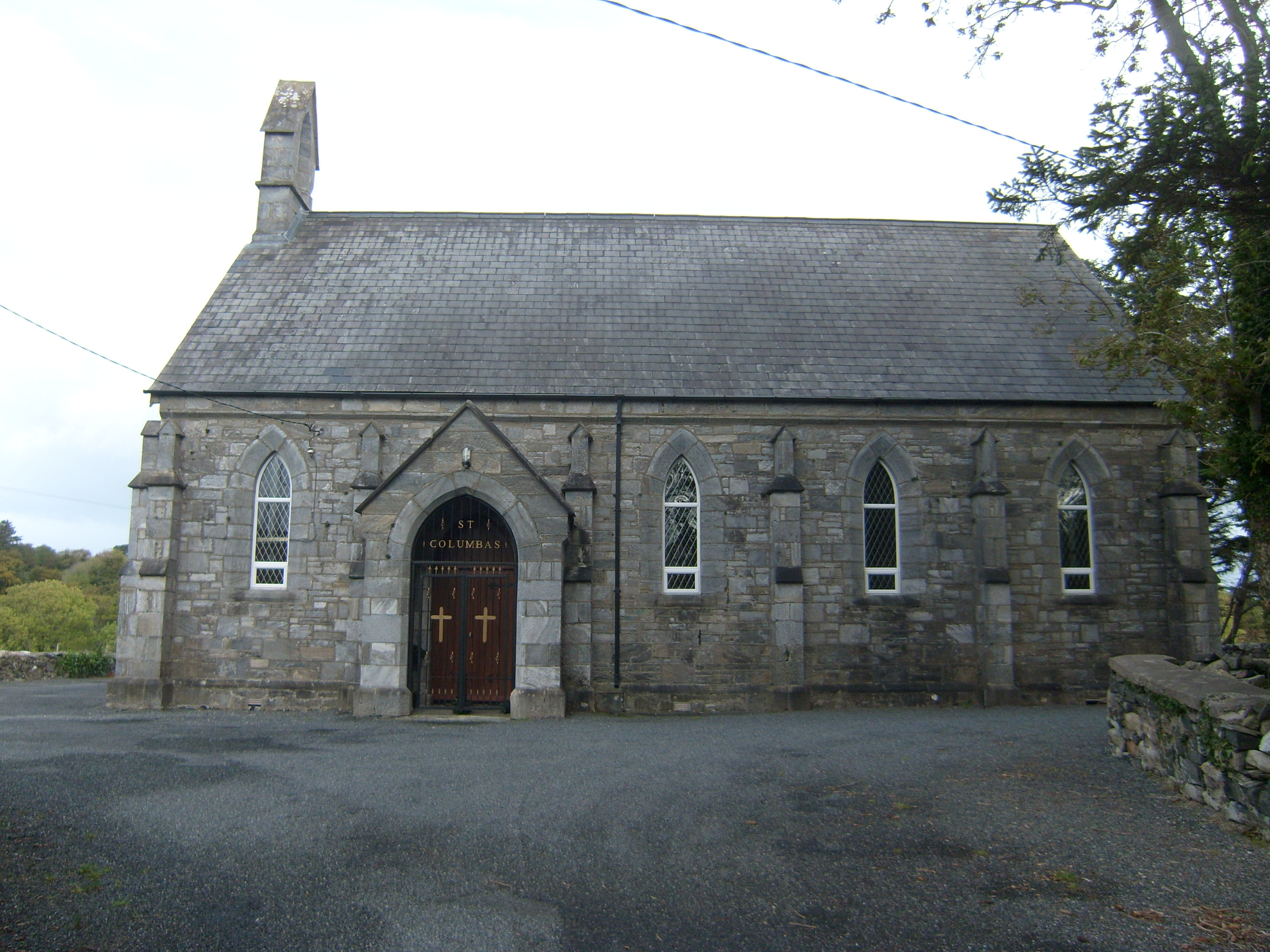 Saint Columba's Church (Kilmacrenan)church/chapel · 861 yd
 Former Cashel Fairy FortFairy fort / ringfort · 880 yd
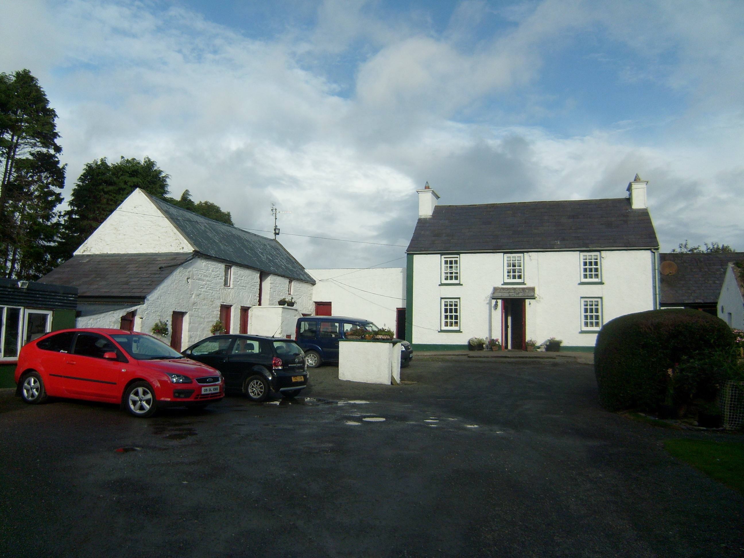 farm housefarm house · 1104 yd
 Ards Friary Coastal LoopOfficial walking route · 1.7 mi
 Monterey CypressMonterey Cypress · 1.7 mi
 Monterey PineMonterey Pine · 1.7 mi
 Àn Trá MorBeach / strand · 2.4 mi
 Clonmass IslandIslet · 2.8 mi
 The TunnelHeritage attraction · 2.8 mi
 DowningsOfficial bathing water · 4.2 mi