What is recorded here
In woodland, on the N side of a pedestrian road and a short distance to the N of a copper mine (KE074-004---). Named 'Old Furnace' on the 1846 and 1895 OS 6-inch maps. The extant structure is a ruined circular building (diam. 4.9m) with four short rectangular gabled projections at the cardinal points. This structure appears to be a gazebo or summer house (C. Rynne, pers. comm.). Documentary sources confirm at least six phases of mining here, beginning around 1749 and concluding in 1818 (O'Brien 2000). This mining is spread across three separate locations adjacent to the lake shore where mine shafts are visible today. The central mine area has a series of partly infilled vertical shafts with surface spoil deposits. The ruins of three stone buildings survive in this area. These include a powder magazine, a small, single storey, stone house and a larger stone building marked as an 'Old Furnace' on the OS 6-inch maps. The powder magazine was certainly connected to mining, however the functions of the other two structure are unknown.
Compiled by: Elizabeth Byrne, Ursula Egan and Sheila Ronan, Archaeological Survey Unit, University College, Cork.
Date of upload: 31 January 2011
The monument record does not grant public access. Check the route and ask the landowner before entering private land.
- What survives
- Recorded monument
Places near here
 Common AlderCommon Alder · 787 yd
 McRose BeachBeach / strand · 829 yd
 Strawberry treeStrawberry tree · 955 yd
 Devil's IslandIslet · 1020 yd
 Brickeen Bridgebridge · 1166 yd
 Bog BayBay · 1370 yd
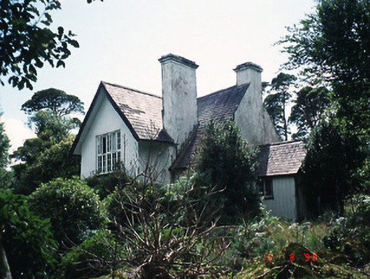 Dinish Cottageworker's house · 1533 yd
 Meeting of the watersViewpoint · 1589 yd
 Ash IslandIslet · 1652 yd
 QuayQuay · 1.0 mi
 A.W.B. (Billy) Vincent MemorialMemorial · 1.2 mi
 Sylvan WorldMonument · 1.3 mi